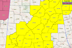
More North Alabama Counties Removed From The Tornado Watch, The Rest Extended In Time
NWS Huntsville cancels the Tornado Watch for Lawrence, Madison, and Morgan counties as the threat of severe storms has come to an end for now.

NWS Huntsville cancels the Tornado Watch for Lawrence, Madison, and Morgan counties as the threat of severe storms has come to an end for now.
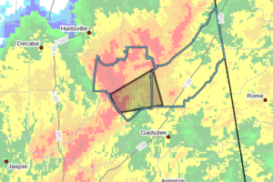
At 934 PM CDT, a severe thunderstorm capable of producing a tornado was located near McLarty, or 8 miles southeast of Arab, moving east at 45 mph.
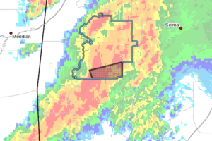
At 933 PM CDT, a severe thunderstorm capable of producing a tornado was located near Dixons Mill, or 8 miles northwest of Thomasville, moving east at 55 mph.
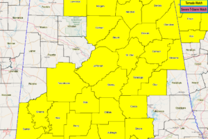
NWS Birmingham extends the Tornado Watch for Blount, Cherokee, and Etowah counties until Monday 12:00 am.
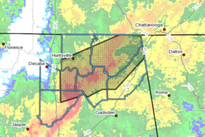
At 921 PM CDT, the emergency managers reported thunderstorms producing heavy rain from near Somerville east into the Hollyowod area. One to two inches with loccally heavier amounts of rainfall has already fallen. Flash flooding is ongoing or expected to begin shortly.
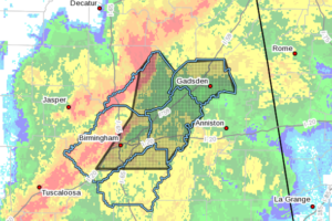
At 919 PM CDT, severe thunderstorms were located along a line extending from near Strawberry to Fairview to near Dallas to Birmingham, moving east at 45 mph.
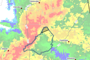
At 912 PM CDT, a severe thunderstorm capable of producing a tornado was located near Holly Pond, or 7 miles east of Cullman, moving northeast at 60 mph.
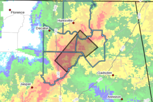
At 911 PM CDT, a severe thunderstorm capable of producing a tornado was located near Holly Pond, or 7 miles east of Cullman, moving northeast at 60 mph.
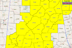
NWS Birmingham cancels the Tornado Watch for Fayette, Lamar, Marion, Pickens, and Winston counties as the threat of severe storms have come to an end for now.
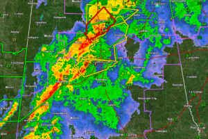
A tornado debris signature is showing up in Cullman County.
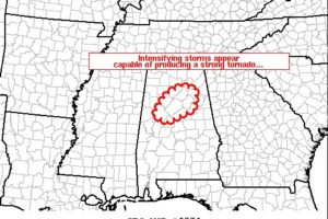
Latest radar loop shows a couple of storms intensifying within the broader north-northwest to south-southeast band of storms crossing Alabama and southeast Mississippi.
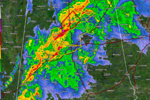
The storm moving into western Jefferson County has weakened from a tornadic standpoint but is still capable of damaging winds. The severe weather threat, including tornadoes, is still very real into the early morning hours for the area.
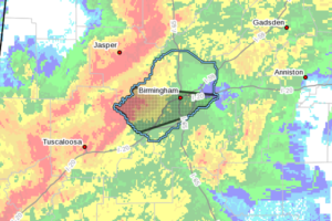
At 851 PM CDT, a severe thunderstorm was located over Bull City, or 15 miles west of Hueytown, moving northeast at 55 mph.