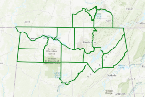
Counties Removed From Flash Flood Watch; Others Extended In Time
NWS Huntsville cancels the Flash Flood Watch for Colbert, Franklin, Lauderdale, Lawrence, and Limestone counties.

NWS Huntsville cancels the Flash Flood Watch for Colbert, Franklin, Lauderdale, Lawrence, and Limestone counties.
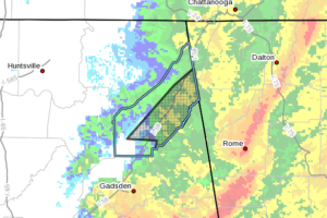
At 1136 PM CDT, emergency management reported flooding occurring in the Fort Paybe area. Three to Five inches of rain have already fallen. Lowland flooding is occurring near Big Wills Creek between Fort Payne and Collinsville. In addition flooding of raods and businesses on the northern side of Fort Payne is possible.
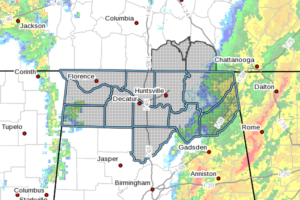
West to southwesterly winds will temporarily increase after Midnight as a prefrontal surface trough shifts eastward across the Tennessee Valley. Although winds may gust to between 30 and 35 MPH as this occurs, the threat for widespread wind gusts greater than 35 MPH for an extended duration has diminished.
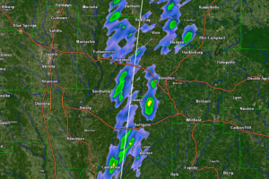
Gusty winds accompany the line of showers over western Alabama at this hour.
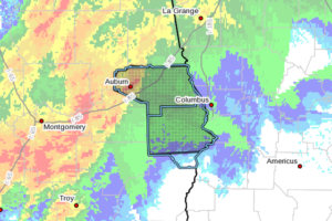
At 1130 PM CDT, severe thunderstorms were located along a line extending from near Martin Dam to near Shopton, moving east at 60 mph.
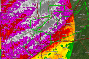
AT 1118 PM CDT, EMERGENCY MANAGEMENT REPORTED THUNDERSTORMS PRODUCING HEAVY RAIN ACROSS JEFFERSON COUNTY, WHICH HAS CAUSED NUMEROUS INSTANCES OF LIFE-THREATENING FLASH FLOODING. UP TO THREE INCHES OF RAIN HAVE ALREADY FALLEN. FLASH FLOODING IS ONGOING.
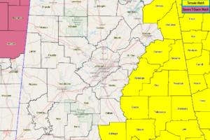
NWS Birmingham cancels Tornado Watch for Chilton and Dallas counties.
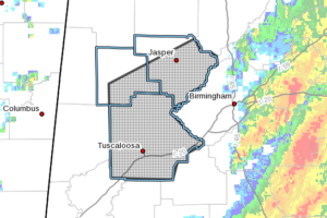
At 1122 PM CDT, emergency management reported flooding across the warning area. Up to four inches of rain have already fallen. Impacts from flooding could linger for the next several hours until water levels recede.
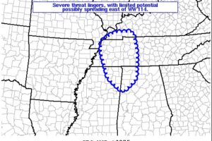
Local risk for damaging winds continues, and may spread northeastward out of the WW into parts of western KY, middle TN, and northwestern AL.
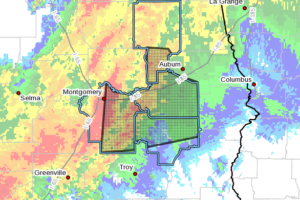
At 1115 PM CDT, severe thunderstorms were located along a line extending from Santuck to Grady, moving east at 65 mph.
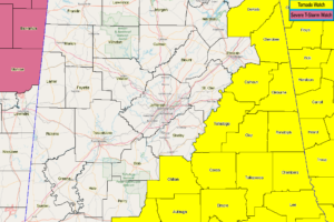
NWS Birmingham cancels the Tornado Watch for Blount, Etowah, Jefferson, Shelby, and St. Clair counties as the threat for severe storms have ended for now.
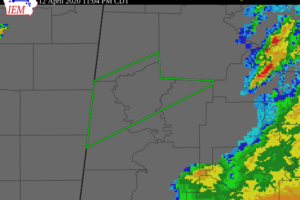
At 1100 PM CDT, Doppler radar indicated heavy rain due to thunderstorms. This will cause minor flooding in the advisory area.
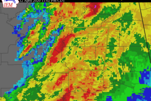
At 1059 PM CDT, severe thunderstorms were located along a line extending from near Harpersville to near Pooles Crossroads, moving east at 30 mph.
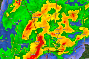
AT 1053 PM CDT, SEVERE THUNDERSTORMS WERE LOCATED ALONG A LINE EXTENDING FROM NEAR MARBURY TO NEAR AUTAUGA COUNTY AIRPORT, MOVING EAST AT 35 MPH.
Notifications