
Auburn Management Professor Gives Advice to Help Small Businesses Survive Coronavirus Shutdown
Businesses that help their communities will be rewarded later, Dave Ketchen says.
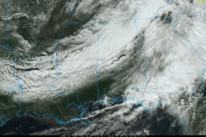
SPRING CHILL: Rain and storms have exited the state this afternoon, but clouds linger over North Alabama. Temperatures are only in the upper 40s and 50s and many areas… the average high for March 31 at Birmingham is 71. The sky will clear tonight, and we project a low between 37 and 44 degrees early tomorrow for most places. For colder valleys and protected areas, there is a chance of some scattered light frost.
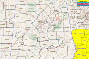
NWS Birmingham has now canceled the Tornado Watch for Barbour, Russell, and Lee counties as the threat for severe storms has now moved out of the area and into Georgia.
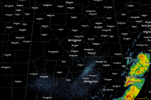
As of 12:00 pm, only the extreme southeastern parts of Central Alabama continues to experience rain and thunderstorms as the rest of the area is now rain free.
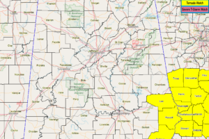
NWS Birmingham updates Tornado Watch… cancels Bullock, Macon, and Pike counties… continues Barbour, Lee, and Russell counties until 3:00 pm.
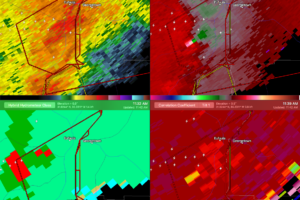
AT 1141 AM CDT, A CONFIRMED TORNADO WAS LOCATED NEAR EUFAULA, MOVING
EAST AT 45 MPH.
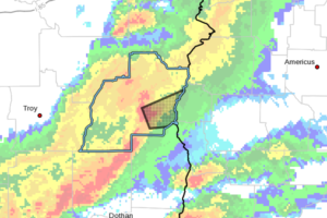
At 1133 AM CDT, a severe thunderstorm capable of producing a tornado was located near Gaino, or 9 miles southwest of Eufaula, moving east at 45 mph.
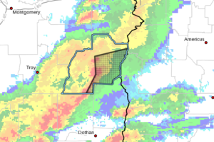
At 1127 AM CDT, severe thunderstorms were located along a line extending from White Oak to near Gaino to near Blue Springs State Park, moving east at 50 mph.
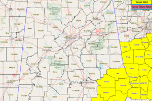
NWS Birmingham updates Tornado Watch… cancels Chambers, Elmore, Lowndes, Montgomery, and Tallapoosa counties… continues Barbour, Bullock, Lee, Macon, Pike, and Russell counties until 3:00 pm.
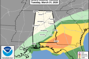
The latest update from the Storm Prediction Center was just released and it shows an Enhanced Risk for severe storms for the southwestern corner of the state including portions of Dale, Henry, Coffee, Geneva, Houston, and Covington counties.
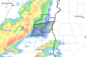
At 1050 AM CDT, severe thunderstorms were located along a line extending from near Banks to 6 miles southwest of Brundidge, moving east at 50 mph.
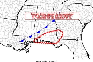
The latest radar loop shows a discontinuous band of thunderstorms extending from near the Alabama/Georgia state line southwest of Atlanta, southwestward to extreme southeastern Mississippi, just ahead of a similarly oriented cold front advancing across the area.
Notifications