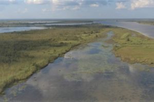
Alabama Legacy Moment: The Mobile-Tensaw River Delta
The region is one of the most naturally diverse in the state.
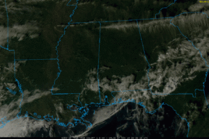
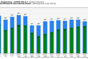
DRY AIR HAS RETURNED: Following the rain and storms of last night and early this morning, we now have a sunny sky over almost all of Alabama. There is a big temperature spread; many places have reached the 70s over the southern two-thirds of the state, but we are seeing 50s over the northwest counties of the state as colder air is pouring in. Tonight will be clear and colder; most places will drop into the 36-42 degree range early tomorrow morning.
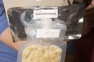
Astronauts aboard the International Space Station celebrate Thanksgiving with their crew mates. Their table probably looks a lot like your table, except there is no table. You can put NASA’s version of cornbread dressing on your table with this recipe.
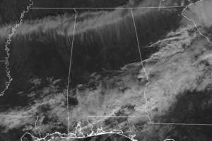
As of 11:00 am this morning, the severe weather threat has completely to an end for Central Alabama.
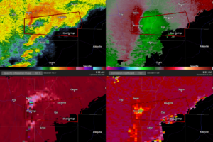
At 900 AM CST, a severe thunderstorm capable of producing a tornado was located over Brundidge, moving east at 30 mph.
RADAR CHECK: Bands of showers and thunderstorms are moving across Alabama early this morning; as expected we have not had any issues with severe storms, but gradient winds are strong (not related to thunderstorms)… gusting to 30 mph at times. Rain will end from west to east early this morning, and the sky will be sunny by late morning or early afternoon. Temperatures are mild this morning; in fact near 70 degrees at places like Tuscaloosa and Muscle Shoals at daybreak, but they will fall through the 60s today with a brisk west wind.
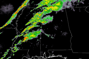
As we approach the midnight hour across North/Central Alabama, we have showers over the northwestern corner of the state while pretty much the rest of the area remains dry.
Notifications