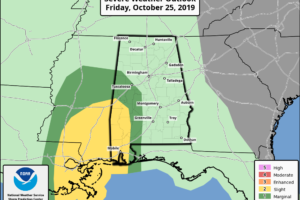
At Midday, Plenty Of Rain In The North, Slight Risk Introduced In The Southwest
As of 11:00 am this morning, plenty of locations across Central Alabama have seen a good bit of rainfall, while some are still receiving beneficial rain.

As of 11:00 am this morning, plenty of locations across Central Alabama have seen a good bit of rainfall, while some are still receiving beneficial rain.
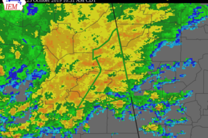
At 1026 AM CDT, Doppler radar indicated heavy rain due to thunderstorms. This will cause urban and small stream flooding in the advisory area. Just over one inch of rain has already fallen.
There is a Marginal Risk of severe storms from 1 PM to 10 PM near and south of a line from Panola in Pickens County to Letohatchee in Lowndes County.
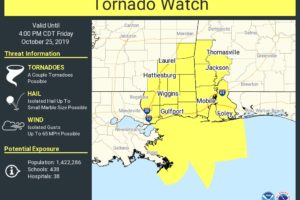
The Tornado Watch includes Choctaw, Clarke, Washington, Mobile, and Baldwin counties in Southwest Alabama through 4:00 pm this afternoon.
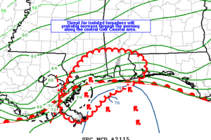
The threat for isolated tornadoes is expected to increase along the central Gulf Coastal area through the morning and continue into the afternoon.
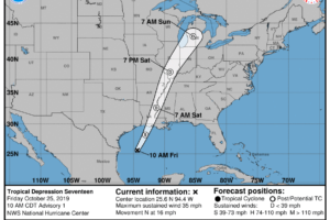
Some strengthening is expected today, and the depression could become a tropical storm this afternoon.
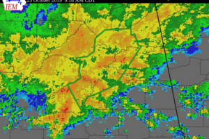
At 917 AM CDT, Doppler radar indicated heavy rain due to thunderstorms. This will cause urban and small stream flooding in the advisory area. Up to one inch of rain has already fallen.
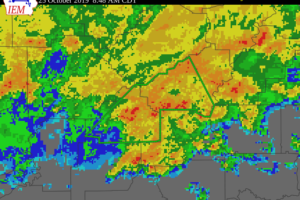
At 836 AM CDT, Doppler radar and automated rain gauges indicated heavy rain due to thunderstorms.
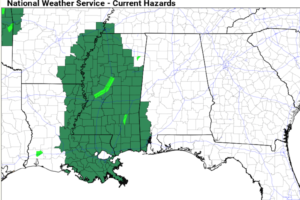
UNSETTLED WEATHER: As advertised, we have widespread rain across Alabama this morning ahead of warm front over the southern counties of the state, and a tropical system in the western Gulf of Mexico.
Notifications