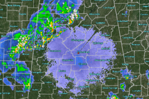
A Late Night Look At The Continuing Severe Storm Threat
At 11:30 pm, we continue to have scattered showers and thunderstorms over the northwestern quarter of the area with a good bit of lightning showing up in several of these cells.

At 11:30 pm, we continue to have scattered showers and thunderstorms over the northwestern quarter of the area with a good bit of lightning showing up in several of these cells.
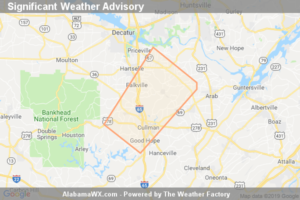
At 11:34 PM CDT, Doppler Radar Was Tracking A Strong Thunderstorm Near Cullman, Moving Northeast At 20 Mph. Pea Size Hail And Wind Gusts Of 30 To 40 Mph Will Be Possible With This Storm.
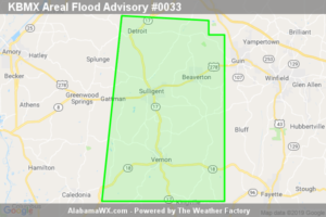
At 10:13 PM CDT, Doppler radar indicated heavy rain due to thunderstorms.
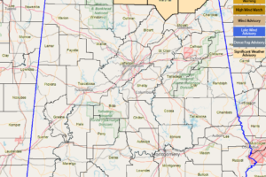
Significant Weather Advisory For Patchy Dense Fog Across Northeast Alabama And Southern Middle Tennessee
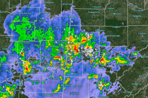
The strongest storms in the state are located over Marion, Lamar, Fayette, and Tuscaloosa counties, but the good news is that there are no current warnings in effect for North/Central Alabama.
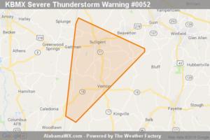
The storm which prompted the warning has weakened below severe limits, and no longer poses an immediate threat to life or property.
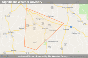
At 8:36 PM CDT, Doppler Radar Was Tracking A Strong Thunderstorm Near Bluff, Or 9 Miles Southwest Of Winfield, Moving Northeast At 25 Mph. Half Inch Hail And Winds In Excess Of 40 Mph Will Be Possible With This Storm.
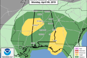
The first Slight Risk area encompasses locations inside of a ring stretching around Brilliant to Gardendale to Irondale to Calera to Newbern to Demopolis. The second Slight Risk area includes locations east of a line from Fort Rucker to Midway to Ladonia.
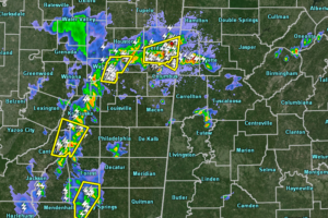
We are getting plenty of hail reports coming in from eastern Mississippi from the storms that are moving to the north-northeast just to the west of the Alabama state line.
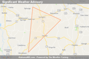
At 7:58 PM CDT, Doppler Radar Was Tracking A Strong Thunderstorm Near Caledonia, Or 10 Miles West Of Vernon, Moving Northeast At 25 Mph. Half Inch Hail And Winds In Excess Of 40 Mph Will Be Possible With This Storm.
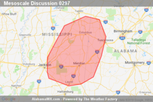
Storms may pose a risk for marginally severe damaging wind gusts and hail. A brief tornado cannot be ruled out. Given the isolated nature of the threat, a WW issuance is not anticipated.
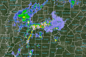
At 7:00 pm, there are only a couple of isolated thunderstorms over the northern part of Pickens County and over the southwestern part of Greene County.
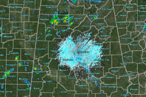
At 4:50 pm, we are now starting to see some showers developing over the southeastern parts of Mississippi and over the southwestern parts of Central Alabama, mainly over the central parts of Sumter County.
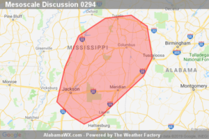
An isolated hail/wind threat may develop this afternoon. Watch issuance is possible, but does not appear immediately likely.
Notifications