
Storm Damage Assessments Planned For Monday & Tuesday
At this time, storm surveys are being planned for the following counties for Monday.

At this time, storm surveys are being planned for the following counties for Monday.

The first tornado to impact Lee County was at least an EF-3 and at least 1/2 mile wide… this is pending further & more detailed examination tomorrow.
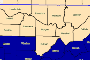
Significant Weather Advisory For Very Cold Air Moving Into North Central Alabama, Northeast Alabama, Northwest Alabama And Southern Middle Tennessee
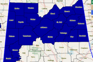
NWS Birmingham has issued a Freeze Warning in effect starting at 12:00 am Monday for Blount, Calhoun, Cherokee, Clay, Cleburne, Etowah, Fayette, Greene, Jefferson, Lamar, Marion, Pickens, Randolph, Shelby, St. Clair, Sumter, Talladega, Tuscaloosa, Walker, and Winston counties until 10:00 am Monday.
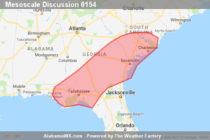
The threat for tornadoes, damaging winds and isolated large hail continues across the remaining valid portions of Tornado Watches 8 and 9. In addition, a new watch may be needed across far southeast Georgia and northern Florida prior to 01Z.
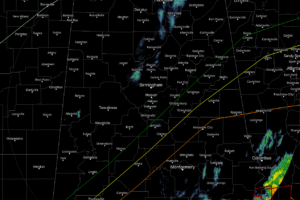
At 4:27 pm, the severe weather threat has moved out of Central Alabama and colder air has already started to flow in from the north and northwest.
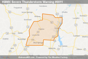
The storms which prompted the warning have moved out of the area.
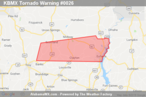
The storm which prompted the warning has moved out of the area.
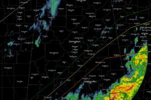
At this point at 3:30 PM, all of the storm activity is confined to the extreme southeastern parts of Central Alabama over Lee, Russell, Bullock, Macon, Pike, and Barbour counties.
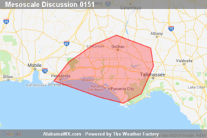
The potential for isolated damaging wind gusts and a tornado or two is increasing ahead of newly developed convection in the far western Florida Panhandle. The severe threat will then decrease behind the main line of convection.
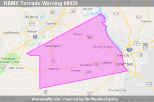
The storm which prompted the warning has moved out of the area.
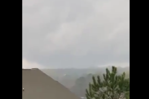
We are already receiving reports of damage from the large tornado that moved through those counties less than one hour ago.
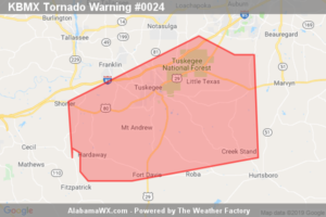
The storm which prompted the warning has moved out of the area.
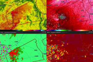
ATTN: Smiths Station and points west…Another tornado is heading nearly in the same direction as the first one. At this point, the path is only about 1.5 miles south of the first track.
Notifications