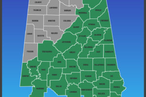
Flash Flood Watch For Much of North/Central Alabama
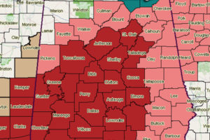
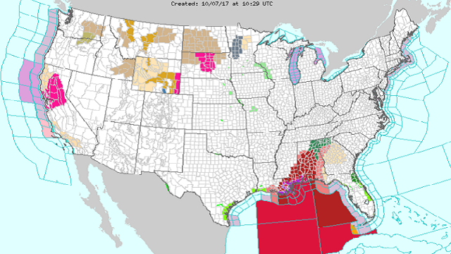
Flash flood watches have been issued for a good portion of the North/Central Alabama area throughout the weekend.

Flash flood watches have been issued for a good portion of the North/Central Alabama area throughout the weekend.
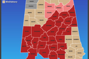
List of current watches, warnings, and advisories for North and Central Alabama. Expiration times on these are until further notice.
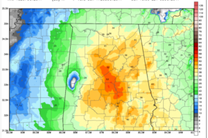
Here is a look at impacts and their timing for Central Alabama from Hurricane Nate, which will cross the area on Sunday after making landfall just west of the Alabama/Mississippi border late tonight.
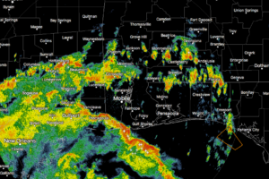
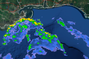
Currently across the Alabama Gulf Coast, another feeder band from Hurricane Nate is moving onshore.
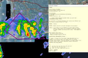
A spotter confirmed waterspout is moving onshore in Baldwin County as one of the outer bands from Hurricane Nate moves onshore.
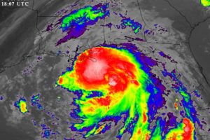
Nate is expected to be a category two hurricane tonight at the time of landfall. The first feeder bands associated with the hurricane are already on the coast, and conditions there will continue to deteriorate through tonight. A hurricane warning remains in effect for the Alabama Gulf Coast, where beachfront and low-lying areas will experience […]
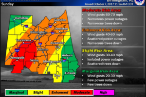
Strong winds will impact Central Alabama on Sunday as Nate tracks across the state. Here are the latest wind alerts and expected impacts.
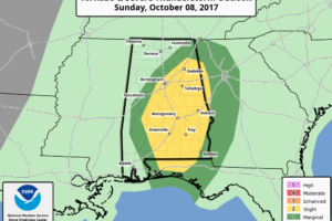
The SPC has issued their standard risk area for the chance of brief tornadoes on the eastern side of the track of Nate as it moves northeastward through Alabama on Sunday.
Hurricane Nate continues to move rapidly toward the northern Gulf Coast and will arrive very close to high tide time tonight.
Nate continues to rapidly intensify this morning, with the latest maximum sustained winds now up to 90 MPH, and the minimum central pressure is down to 984mb.
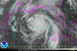
**Nate is now expected to be a category two hurricane at the time of landfall tonight on the Gulf Coast** At 1000 AM CDT, the center of Hurricane Nate was located near latitude 26.6 North, longitude 88.4 West. Nate is moving rapidly toward the north-northwest near 26 mph, and this general motion is expected to […]
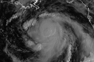
Conditions for Central Alabama will really start to deteriorate during the early morning hours on Sunday, as heavy rain and gusty winds start to move in from still Hurricane Nate.
All eyes are on Nate moving into the Central Gulf of Mexico as it takes aim for the Central Gulf Coast just to the west of Mobile. Nate should move through Alabama on Sunday exiting the northeast corner Sunday evening but leaving a chunk of moisture behind for showers into the first of next week.
Notifications