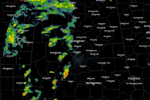
A Quick Check On Our Weather Situation At 2:25 PM
The eastern half of Central Alabama is dry at this point, with only scattered showers and storms over the western half.

The eastern half of Central Alabama is dry at this point, with only scattered showers and storms over the western half.
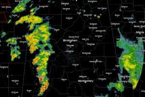
The post-tropical center of Harvey was located across west-central Mississippi with a synoptic scale warm front analyzed from the center of the circulation east across Mississippi to near Meridian and it extended southeast into interior southwest Alabama and extended further east to near the Alabama/Florida state line.
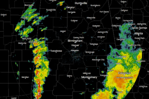
Just like the HRRR model projected, the next band of heavy tropical rain and storms have moved in from Mississippi and are currently affecting the western locations in Central Alabama.
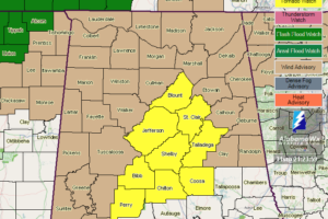
A tornado watch continues for parts of Central Alabama until 10:00 PM tonight.
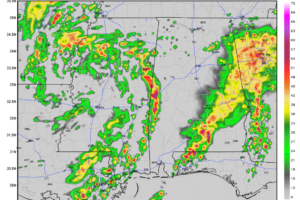
For the most part across the Central Alabama area, skies are generally with showers and storms mainly over the southeastern parts, with only a few isolated showers dotting the radar elsewhere.
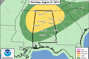
ACTIVE WEATHER DAY: The remnant circulation of former Tropical Storm Harvey is over Central Louisiana this morning; it will move northeast across North Mississippi and West Tennessee over the next 18 hours, putting Alabama in a favorable position for numerous showers and thunderstorms. It won’t rain all day, but it will rain at times, and a few storms could be severe.

If AlabamaWX is not displaying on your device correctly, it may be because of our transition to https://. Just remove the s from the URL and it will display correctly.
Notifications