
Waterspout Crossing Pensacola Bay A Short Time Ago
A waterspout crossing Pensacola Bay caught the attention of the observer at the Pensacola Airport.

A waterspout crossing Pensacola Bay caught the attention of the observer at the Pensacola Airport.
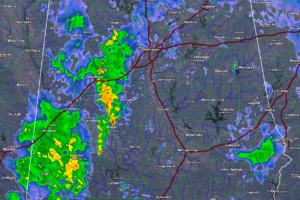
Heavy rain continues to lift north over West Central Alabama this morning and will affect areas like Jasper, Tuscaloosa, Centreville, Livingston and Eutaw through noon.
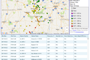
As I was entering my 24-hour rainfall total in for my location in Warrior, I noticed that my 1.65 inches really pale in comparison to some of the totals from around the rest of the state. Here are just the top-10 that are showing on the CoCoRaHS site as of 10:30AM…
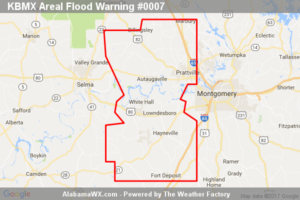
At 10:26 AM CDT, Doppler radar indicated heavy rain was developing to the south of the area and will be spreading northward across the warned area during the next one to two hours.
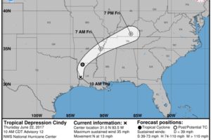
A weakening Cindy is moving into Northwest Louisiana at this hour. The severe weather threat will really ramp up to the east of the center this afternoon. Heavy rain is a major threat as well.
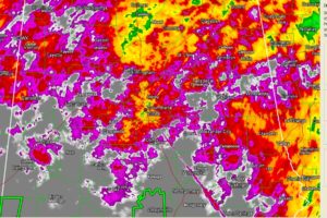
Cindy will bring heavy rain and severe weather to Alabama through Saturday, but she will leave a departing present next week: dewpoints in the 50s!
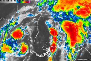
Cindy moved inland near Cameron LA around 2 a.m this morning. It will continue to produce heavy rain and flash flooding across a wide area of the South into the weekend, along with severe weather.
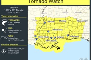
CINDY IS INLAND: Tropical Storm Cindy moved ashore early this morning near the Sabine Pass… the Texas/Louisiana border… well to the west of Alabama. But, as discussed often here, the impact of the tropical storm extends well to the east, and Cindy is responsible for a fetch of moisture from the deep tropics moving right into our state this morning.
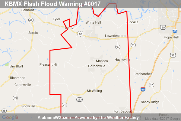
At 4:31 AM CDT, Doppler radar indicated heavy rain across the warned area.
Notifications