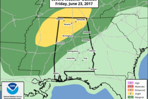
Severe Weather a Possibility Tonight, Thursday and Friday for Parts of Alabama
Parts of Alabama will be in a favorable position for spin up tornadoes through Friday as Tropical Storm Cindy makes landfall and curves to the northeast.

Parts of Alabama will be in a favorable position for spin up tornadoes through Friday as Tropical Storm Cindy makes landfall and curves to the northeast.
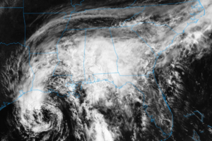
This is the latest GOES-16 visible satellite animation of Tropical Storm Cindy. As you can see a little bit of convection is just at the beginning phase of forming to the south of the circulation.
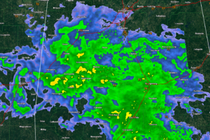
Tropical Storm Cindy will make landfall on the Texas/Louisiana border late tonight, but its impacts are being felt hundreds of miles to the east including here in Alabama.
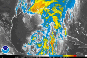
The main threat from Cindy continues to be flooding rains along with the threat of tornadoes.
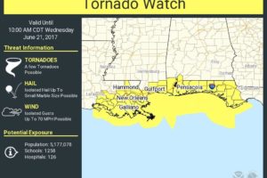
CINDY STATS: Tropical Storm Cindy is in the Gulf of Mexico in a highly sheared environment. Sustained winds have increased to 60 mph, but the system is not expected to reach hurricane strength, and landfall should come early tomorrow morning near the Sabine Pass… the Texas/Louisiana border.
Notifications