
One Good Reason You Should Take Future Tornado Warnings More Seriously
James Spann has seen a lot in 38 years of broadcasting. Highs and lows of temperatures, highs and lows of ratings — and now a new high when it comes to storm prediction.
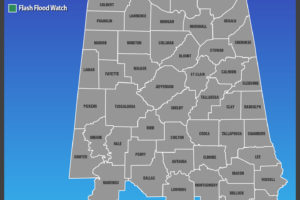
The severe thunderstorm watch in effect for parts of Central Alabama has expired.
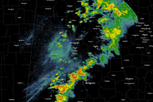
The line of showers and thunderstorms is currently stretching from Piedmont and Jacksonville, back to the southwest through Clanton and Selma, and through Citronelle and corssing over into the extreme southeastern part of Mississippi.
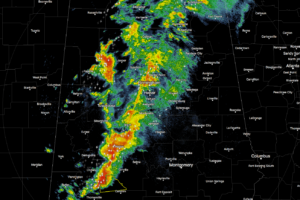
Showers and storms continue to move across the state at this time, but the air mass over the northern parts of the state is more stable and keeping the risk for strong to severe storms rather low.
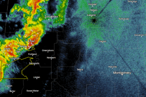
At this moment, the main action across Central Alabama is located to the southwestern parts of the area, and current trends will likely keep most of the severe weather along and south of I-20.
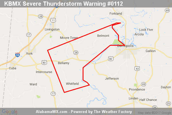
At 1:32 AM CDT, a severe thunderstorm was located near Coatopa, or 11 miles southeast of Livingston, moving northeast at 50 mph.
At 1237 AM CDT, Doppler radar was tracking a strong thunderstorm near Hackleburg, or 9 miles west of Haleyville, moving northeast at 80 mph. Wind gusts up to 50 mph and frequent lightning will be possible with this storm.
The storm which prompted the warning has weakened below severe limits, and has exited the warned area.
The storm which prompted the warning has weakened below severe limits, and no longer appears capable of producing a tornado.
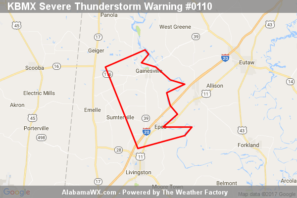
At 12:34 AM CDT, a severe thunderstorm was located near Gainesville, or 11 miles north of Livingston, moving east at 60 mph.
Notifications