
Additional Flash Flooding Concerns for Northwest/North Central Alabama…and Serious Flash Flooding Ongoing in Houston/Henry Counties in Southeast Alabama
The WPC has issued two mesoscale precipitation discussions recently for Alabama.

The WPC has issued two mesoscale precipitation discussions recently for Alabama.

A band of rainfall across North and Central Alabama is intensifying this evening, increasing the risk of flooding in already waterlogged areas.

Rainfall totals across parts of western Morgan and Lawrence Counties have exceeded 6 inches. The threat of flash flooding will continue through tomorrow morning for much of Alabama.
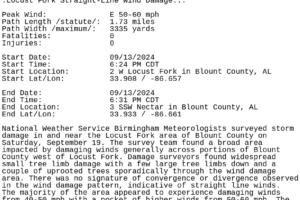
The NWS Birmingham surveyed the damage in this area and determined straight-line wind damage around 50-60 mph.
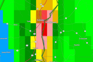
Between 4-7″ of rain has fallen over Eufaula causing major flooding.
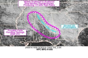
Most of the heavier rain north of I-20 has become much lighter and more sporadic with the more moderate between Anniston and Auburn. That may be a-changing over the next few hours.
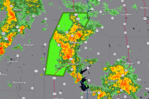
Between 3 and 4 inches of rain have fallen. Flash flooding is already occurring.
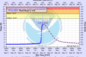
As we have talked about this morning, parts of Lawrence County have see over 6-9 inches of rain that has resulted in the flooding of numerous roads and a rise in creeks, streams and rivers.
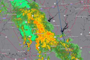
We still have a band of rain set up from NW Alabama stretching southeast through the Birmingham Metro down to Auburn. Still flooding concerns for the rest of today.
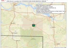
The Moulton area has been hit hard over the past 24-48 hours with heavy rain and flooding. The NWS Huntsville passing along a report of severe flooding on Main Street.
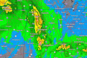
NWS Huntsville has posted precipitation reports for the last 48 hours. Some of the highest totals are coming in from Lauderdale and Lawrence Counties, where 9-11+ inches have fallen.
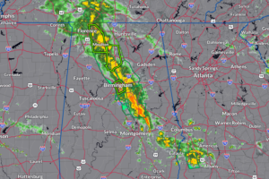
The strong tropical rain band continues to pound portions of Alabama with extremely heavy rain.

Cloud tops are cooling and rising to 20,000-30,000 feet over parts of Central Alabama, signaling increasing rainfall rates and a potential for heavy rain throughout the morning, so be cautious if traveling as water may cover roadways.

Flood advisories are in effect until 9:30 AM CDT for Blount, Jefferson, Walker, and Winston counties, and until 9:45 AM CDT for Shelby, Chilton, and Coosa counties, due to urban and small stream flooding caused by excessive rainfall.
 Our long time friend, mentor, and charter Weather Factory member, J.B. Elliott, passed away on May 11, 2015. Click HERE to read James' tribute.


