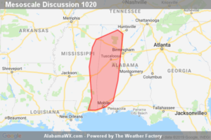
SPC Mesoscale Discussion: Severe Potential… Watch Unlikely
Thunderstorm clusters will continue to pose a threat of locally damaging wind into the early evening.

Thunderstorm clusters will continue to pose a threat of locally damaging wind into the early evening.
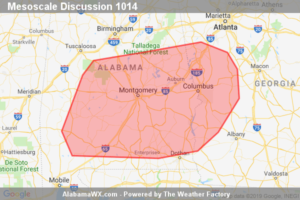
Linear segments will continue to move eastward across the area during the early afternoon hours. Some of the stronger segments will be capable of producing damaging wind gusts. Convective trends will continue to be monitored for the possibility of a WW issuance.
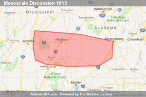
Bowing segment, capable of isolated damaging wind gusts, may continue for a few more hours. The sparse nature of the damaging wind threat suggests that a WW issuance is not likely at this time.
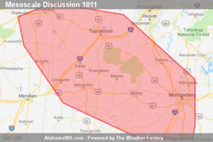
Transient supercells will be capable of intermittent strengthening of low-level mesocyclones with the strongest updrafts. A brief/weak tornado is possible this evening. The isolated character and magnitude of the threat will probably preclude the need for a small tornado watch.
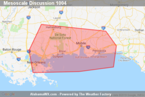
Threat for water-loaded downbursts and brief tornadoes will continue across southern AL/MS and the western/central FL Panhandle for the next few hours.
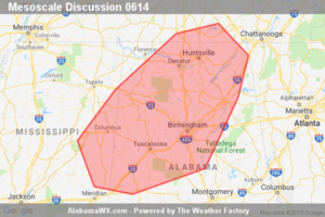
Storms evolving over northeast Mississippi may pose local severe/brief tornado risk this afternoon.
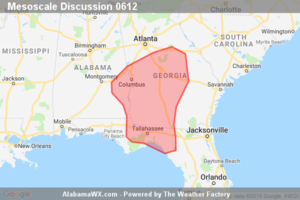
Convective development occurring, associated with a remnant MCV. Some localized wind gusts/small hail possible.
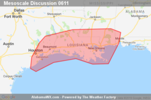
Storms will become increasingly widespread across the western and central Gulf Coast region into the afternoon, but expect only locally stronger/severe storms embedded within the broader area of convection. A WW is not anticipated in the short term, but we will monitor convective evolution.
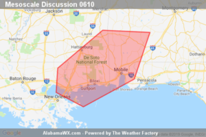
A few supercells will likely persist across far southeast Louisiana and southeast Mississippi into southwest Alabama late this evening. A locally severe storm including a brief tornado cannot be ruled out.
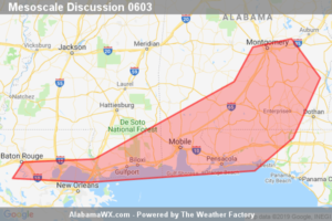
Local severe risk continues, particularly just east of WW 157.
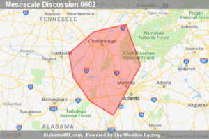
A fast northeast-moving convective line will continue to pose a wind damage risk along with the potential for a brief tornado from northeast Alabama into northwest Georgia/southeast Tennessee.
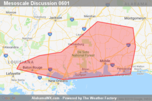
Severe risk — including potential for a couple of brief tornadoes — continues.
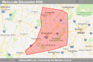
Locally damaging winds will remain possible over the next couple of hours across the northern and central Alabama vicinity. A new WW is being considered.
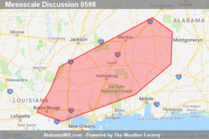
Severe weather risk continues across WW 156, and will gradually expand eastward/southeastward with time. This expansion in risk area will likely require a new/downstream WW.