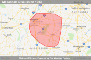
SPC Mesoscale Discussion: Severe Potential… Watch Unlikely
An isolated threat for damaging wind and hail will persist for the next couple of hours, though a WW issuance probably will not be needed.

An isolated threat for damaging wind and hail will persist for the next couple of hours, though a WW issuance probably will not be needed.
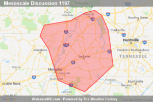
Thunderstorms should increase in intensity this afternoon with a risk primarily for damaging winds. A Severe Thunderstorm Watch is possible prior to 3 pm CDT/20Z.
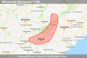
Sporadic strong wind gusts will continue in and near WW 422 the next few hours.
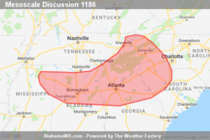
Damaging wind potential will likely persist into the overnight hours and a downstream severe thunderstorm watch is likely to the south/southeast of WW 419.
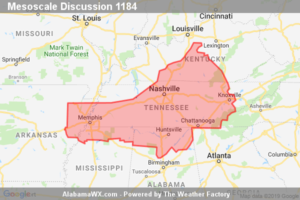
Damaging wind gusts will continue across portions of southeast KY into western, middle and parts of eastern TN this evening. The threat should increase across parts of northern MS/AL later tonight as the bow echo develops south/southeast over the next several hours.
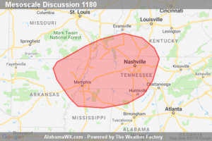
A damaging bow echo will continue to shift east/southeast this evening. A new severe thunderstorm watch will be needed across parts of northeast AR into TN, perhaps replacing portions of WW 418.
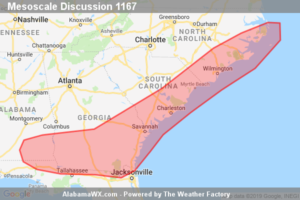
The severe threat continues to shift quickly eastward across portions of North Carolina and South Carolina, while shifting more slowly southward across southern Georgia/southeastern Alabama.
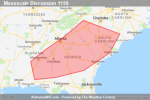
Thunderstorms are expected to develop by 17-18Z over a large part of the Southeast U.S. and increase in coverage and intensity during the afternoon, posing a risk for damaging wind and hail. A WW will probably be needed for a portion of this region by 17Z.
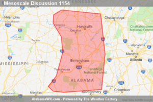
Strong/gusty winds producing occasional damage should continue across Severe Thunderstorm Watch 406.
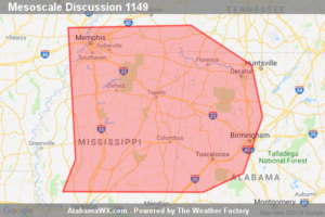
A bow echo over southeastern AR is rapidly moving east at 55kt and will exit severe thunderstorm watch 405 around 11pm CDT. A new severe thunderstorm watch will be needed for MS, parts of western TN, and into northwest and north-central portions of AL.
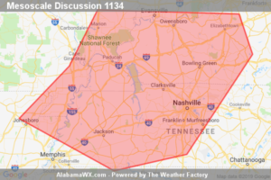
A further increase in thunderstorm intensity and organization appears possible through 3-5 PM CDT. This may be accompanied by an increase in severe weather potential which could require a watch within the next couple of hours.
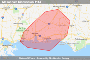
Local risk for marginal hail, and a few damaging wind gusts, will continue across portions of the central Gulf Coast region late this morning and into this afternoon. Risk should remain isolated, with WW issuance not anticipated at this time.
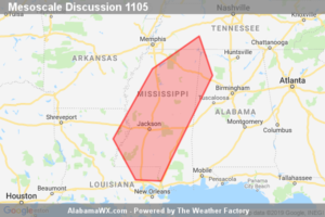
Clusters of strong thunderstorms will affect much of MS this afternoon, with gusty or locally damaging winds in the strongest cells. Coverage of severe storms is not expected to warrant a watch at this time.
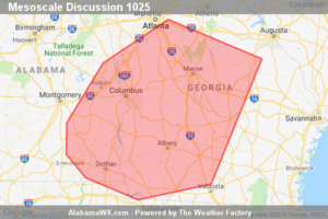
Isolated damaging wind gusts are possible as thunderstorm coverage increases this afternoon.