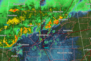
11:45PM Radar Update: Storms Continuing to Push Through North and Central Alabama
Here’s another look at our current radar along with an outlook for the rest of the night.
Scott is a senior at Mississippi State University studying professional and broadcast meteorology.

Here’s another look at our current radar along with an outlook for the rest of the night.
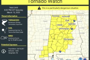
A PDS tornado watch has been issued for several Alabama counties. It is in effect until 8pm tonight.
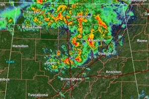
Here is the latest on the active weather in Alabama this morning
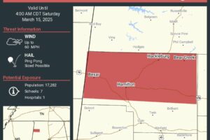
New severe thunderstorm warnings have been issued for Franklin and Marion counties. Here are the full details for these warnings.
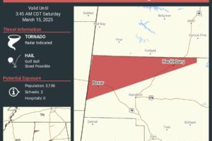
Tornado warning issued for northwestern Marion County and southwestern Franklin County.
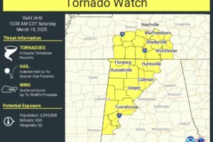
A new tornado watch has been issued for several northwestern Alabama counties. Here are the details for this watch.
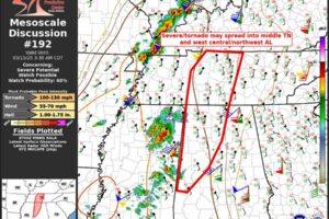
Strong storms are working their way into Western Alabama. Additionally, a new tornado watch may be issued for northwestern Alabama.
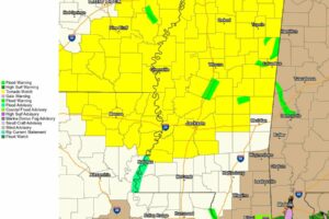
New Tornado Watch for Many Mississippi Counties
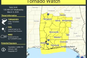
Tornado Watch issued as strong storms begin to move into the southern portion of Alabama.
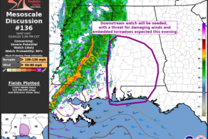
Here is the latest on today’s severe weather threat for Alabama.
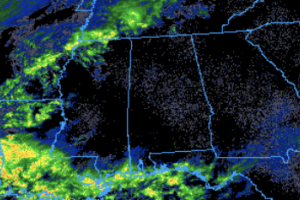
Check out this video of snow falling in Memphis, TN. Plus, a look at current radar imagery.
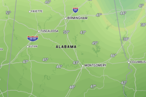
Here is a look at current temperatures, along with overnight lows and expected dewpoint temperatures.
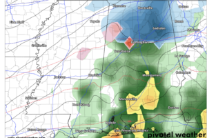
The system expected to bring winter precipitation to northern Alabama will move into our area tonight! Here are the latest details, including a look at where the system is currently located.
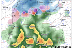
Snow is returning to Northern Alabama! Tomorrow night into Wednesday morning, we expect to see some winter precipitation- here is an update on everything we are tracking.
 Our long time friend, mentor, and charter Weather Factory member, J.B. Elliott, passed away on May 11, 2015. Click HERE to read James' tribute.
Notifications

