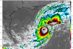
7pm CDT Milton Update: Pressure Has Dropped to 902 mb
Dangerous Cat 5 Milton continues to churn toward the eastern Gulf.
Owner of Tornado Talk. Radio broadcast meteorologist with The Storm Report. WeatherBrains Panelist. B.S. Meteorology from Penn State University.

Dangerous Cat 5 Milton continues to churn toward the eastern Gulf.
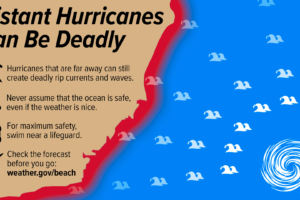
The main affects of Milton on Alabama will be for the coast. No land impacts expected.
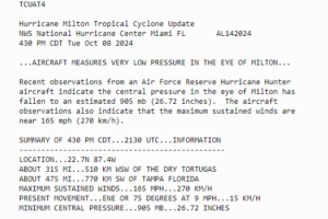
Wouldn’t you know….as soon as I hit the publish button, we received an update from the NHC from the hurricane hunters!
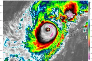
The hurricane hunters have found falling pressure as they flew through the eye of Milton. This storm has become much more organized as the day has gone on. The eye is nearly 10 miles wide.
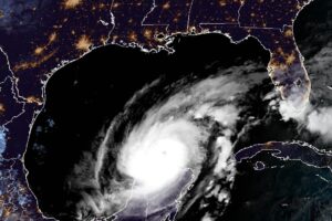
Milton is steadily moving ENE at 12 mph and is centered about 545 miles SW of Tampa, FL. Max winds are now at 145 mph with a pressure of 929mb.
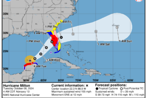
It will be another day of monitoring the storm as it begins to lift away from the Yucatan area. The structure of the system is changing. It is still very powerful and is forecast to be that way through landfall.
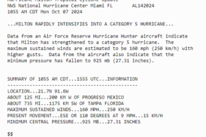
The hurricane hunter aircraft recon data has come in and we have a Cat 5 hurricane. Max winds are now 160 mph. The pressure has dropped to 925 mb!
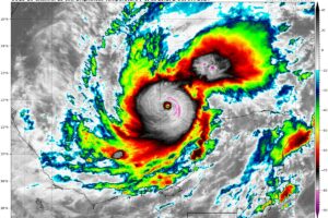
There has been an 80 knot increase in the max winds in 24 hours. This makes Milton the third most extreme rapid intensification event between Felix in 2007 and Wilma in 2005!
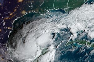
Hot off the presses everyone, a new update from the NHC on Milton. Hurricane hunters indicating we now have a Cat 4 storm!
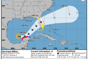
Data from the NOAA and Air Force Hurricane Hunter Aircraft has led to the special advisory from the NHC about the track and intensity of Milton. The wind is up and the pressure is down.
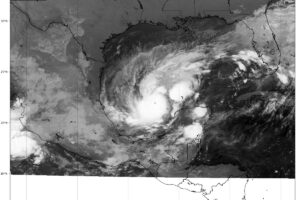
The NHC has just issued an update on Milton based on data from a NOAA Hurricane Hunter aircraft. Max winds are now at 120 mph in the center! The pressure is down to 954 mb.
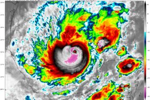
Milton is now a Category 2 storm and numerous watches are up for parts of Florida. We have the latest with the 4am CDT update.
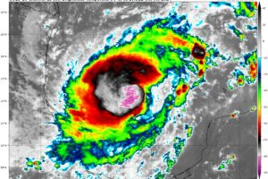
Time for a deep dive in the latest full update from the NHC. There is an increasing risk of life-threatening storm surge and damaging winds for portions of the west coast of the Florida Peninsula beginning early Wednesday, with impact spreading further inland from there. Preparations need to be started now and folks need to heed the direction of their local officials.
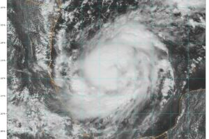
We have the latest from the NHC 1pm CDT Advisory. Air Force Hurricane Hunters find Milton has intensified to a Category 1 hurricane.
 Our long time friend, mentor, and charter Weather Factory member, J.B. Elliott, passed away on May 11, 2015. Click HERE to read James' tribute.


