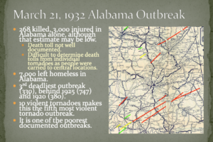
OTD in 1932: Alabama’s Deadliest Tornado Outbreak
Remembering Alabama’s deadliest tornado outbreak that occurred on this date in 1932.
Bill Murray is the President of The Weather Factory. He is the site's official weather historian and a weekend forecaster. He also anchors the site's severe weather coverage. Bill Murray is the proud holder of National Weather Association Digital Seal #0001 @wxhistorian

Remembering Alabama’s deadliest tornado outbreak that occurred on this date in 1932.
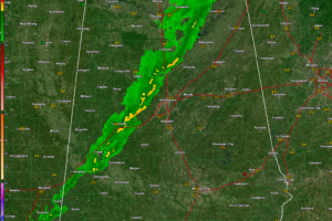
The storms never really got going across Alabama and should just cause a few wind gusts to around 35-40 mph as they push east overnight.
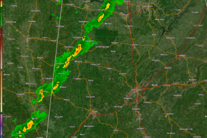
A line of heavy showers with gusty winds is pushing east across Alabama tonight. There is still a chance for isolated severe wind gusts for
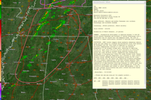
Severe storms remain possible tonight across northwest and north-central Alabama, with the main threats being strong winds, hail, and heavy rain.

Round two of our severe weather event has ended, leaving behind gusty winds, cooler temperatures, and at least two confirmed tornadoes in Calera and Winterboro, with survey teams investigating over a dozen additional damage tracks.
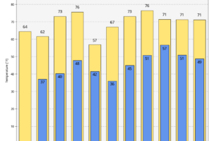
Sunday will bring cooler and drier conditions across Alabama, with highs in the mid-60s to low 70s and a few lingering clouds in the northeast.
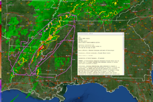
A significant tornado outbreak is expected across Alabama this afternoon and evening, with the potential for long-track tornadoes, damaging winds over 70 mph, and large hail as storms rapidly develop and move eastward.
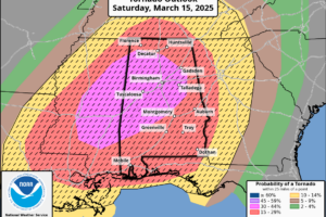
A dangerous tornado outbreak is expected across northern and central Alabama this afternoon and evening, with numerous strong to violent, long-track tornadoes, damaging winds, and large hail posing a significant threat.
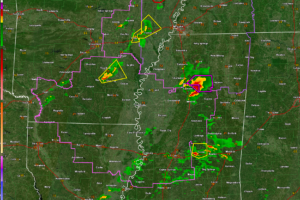
Storms will start moving into Northwest and West Central Alabama after 2:30 a.m. They could be severe and may even produce tornadoes.
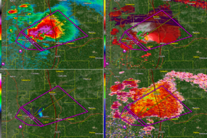
It is moving in the general direction of Tupelo. The environment will become slightly less unstable the further northeast it goes, but the shear will remain just as strong so there is no sign the storm will weaken.
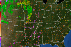
A dangerous tornado outbreak is expected, with long-track, violent tornadoes, destructive winds, and large hail posing a significant threat across Alabama and the Deep South.
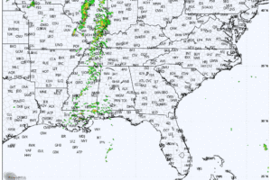
The second round of storms arrives Friday night with the potential for severe weather, including damaging winds and large hail, and the main event unfolds Saturday with a significant outbreak expected across Alabama and Mississippi, featuring supercells capable of producing strong tornadoes, destructive winds, and large hail.
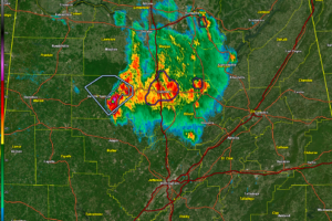
The storms over North Central Alabama have weakened in the past hour and no warnings are in effect. The strongest storm is over Winston County and will push into northern Walker and eventually southern Cullman, Blount, and northern Jefferson counties.
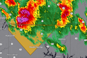
Severe thunderstorms in northwestern Winston County are producing 60 mph wind gusts, quarter-size hail, and dangerous lightning—seek shelter indoors immediately.
 Our long time friend, mentor, and charter Weather Factory member, J.B. Elliott, passed away on May 11, 2015. Click HERE to read James' tribute.
Notifications

