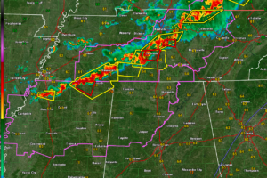
Alabama Update at 12:15 a.m.
Storms will be entering Northwest Alabama around 1245 a.m. and will push southeastward overnight, reaching the I-59 Corridor in the 6-8 a.m. time frame.
Bill Murray is the President of The Weather Factory. He is the site's official weather historian and a weekend forecaster. He also anchors the site's severe weather coverage. Bill Murray is the proud holder of National Weather Association Digital Seal #0001 @wxhistorian

Storms will be entering Northwest Alabama around 1245 a.m. and will push southeastward overnight, reaching the I-59 Corridor in the 6-8 a.m. time frame.

In a special Sunday evening video update, James Spann warned that a powerful line of storms will sweep across Alabama overnight into Monday morning, bringing the threat of damaging straight-line winds, isolated tornadoes, and possible power outages.
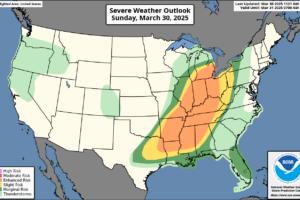
The overall severe weather setup today and tonight stretches from the Southern Plains through the Mississippi Valley and into the Southeast and Ohio Valley, including Alabama, with a broad area under threat for damaging winds, large hail, and tornadoes—including some that may be strong.
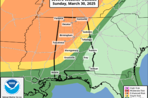
A fast-moving squall line will sweep across Central Alabama late tonight into Monday morning, bringing a significant threat of damaging winds, embedded tornadoes, and heavy rainfall.
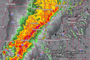
A severe weather event is on the table for late Sunday night into Monday across Alabama, with the potential for damaging winds, large hail, and a few tornadoes—followed by a warm, summerlike pattern to close out March and start April.
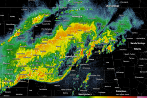
Some thunderstorms with heavy rain continue across parts of Central and North Central Alabama late tonight but the severe weather threat has greatly diminished.
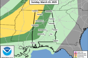
Strong storms with damaging winds and hail are expected to roll into Alabama tonight, bringing a classic springtime severe weather setup that needs your attention before bedtime.
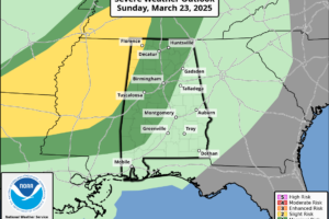
A few strong to severe storms are possible late tonight across northwest Alabama, but the greater threat remains west of the state from Texas to western Tennessee.
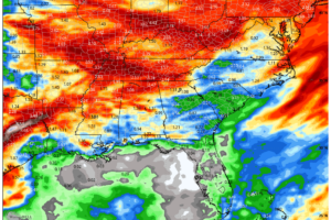
A warm and breezy Sunday will give way to strong storms Sunday night, with the potential for damaging winds and hail across north and central Alabama.
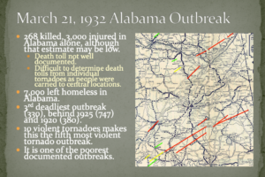
Remembering Alabama’s deadliest tornado outbreak that occurred on this date in 1932.
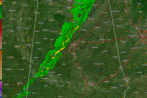
The storms never really got going across Alabama and should just cause a few wind gusts to around 35-40 mph as they push east overnight.
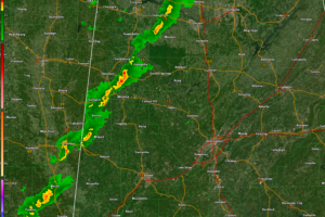
A line of heavy showers with gusty winds is pushing east across Alabama tonight. There is still a chance for isolated severe wind gusts for
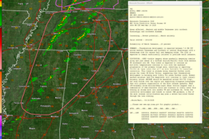
Severe storms remain possible tonight across northwest and north-central Alabama, with the main threats being strong winds, hail, and heavy rain.

Round two of our severe weather event has ended, leaving behind gusty winds, cooler temperatures, and at least two confirmed tornadoes in Calera and Winterboro, with survey teams investigating over a dozen additional damage tracks.
 Our long time friend, mentor, and charter Weather Factory member, J.B. Elliott, passed away on May 11, 2015. Click HERE to read James' tribute.
Notifications

