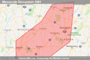
SPC Mesoscale Discussion: Severe Potential… Watch Unlikely
Strong storms may pose at least some risk for potentially damaging wind gusts late this afternoon. While it still appears unlikely that this will require a watch, trends will be monitored.

Strong storms may pose at least some risk for potentially damaging wind gusts late this afternoon. While it still appears unlikely that this will require a watch, trends will be monitored.
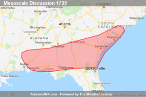
A few strong wind gusts will be possible through the afternoon from the central Gulf Coast vicinity northeast toward eastern South Carolina.
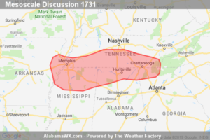
An isolated severe threat will gradually shift southward across the discussion area through the early evening. The probability of a new Severe Thunderstorm Watch issuance for portions of the discussion area is 20%.
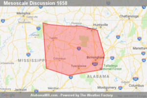
Isolated damaging gusts, some near severe limits, may occur with a southeastward-moving band of thunderstorms during the next few hours. A watch is not currently expected.
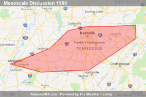
Storms will continue moving across portions of western and middle Tennessee this afternoon, with a few of the strongest cells capable of producing locally gusty/damaging winds. WW is not expected at this time, due to the expected limited/local nature of the risk.
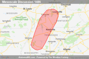
Low-topped supercells may produce isolated damaging winds and a brief, weak tornado. A watch issuance is unlikely given the marginal, isolated severe threat.
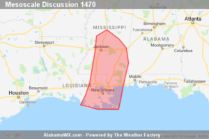
A brief tornado or two will remain possible through the evening hours with the stronger outer rain-bands/cells associated with weakening Tropical Depression Barry. Given the localized and brief nature of the tornado threat, a Tornado Watch re-issuance is not currently expected.
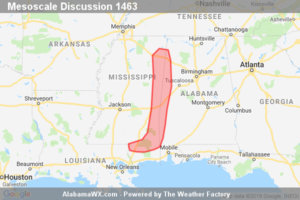
A narrow corridor of localized wind damage or a brief/weak tornado exists from far eastern Mississippi toward the Alabama border.
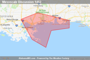
A storm or two may acquire transient rotation/weak supercell characteristics overnight. A brief/weak tornado cannot be ruled out. The forecast coverage/magnitude of the tornado risk will probably preclude a tornado watch issuance unless observational trends change.
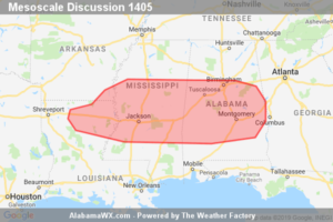
Scattered storms are expected to pose a damaging-wind risk over the course of the afternoon. A WW is not expected due to the sporadic nature of the threat.
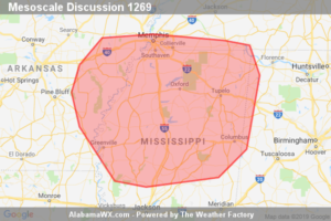
A cluster of storms will likely persist into the afternoon. A few damaging wind gusts/downbursts will be possible. A WW is not anticipated.
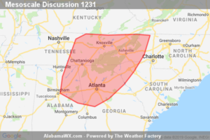
Isolated severe thunderstorms with primarily a strong to damaging wind threat may develop this afternoon. Watch issuance is possible.
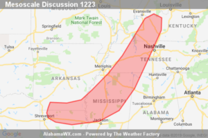
A severe threat may extend downstream of WW 433 from parts of western/central KY into middle TN, far northwest AL, northern and central MS and perhaps far southern AR/northern LA. Trends will be monitored but one or more additional watches may be needed in the next 1-2 hours.