Flood Watch Canceled for a Few Counties in Central Alabama
Jefferson, Shelby, Chilton, Autauga, and Lowndes counties in Central Alabama have been removed from the Flood Watch.
Scott Martin is an operational meteorologist, professional graphic artist, musician, husband, and father. Not only is Scott a member of the National Weather Association, but he is also the Central Alabama Chapter of the NWA president. Scott is also the co-founder of Racecast Weather, which provides forecasts for many racing series across the USA. He also supplies forecasts for the BassMaster Elite Series events including the BassMaster Classic.
Jefferson, Shelby, Chilton, Autauga, and Lowndes counties in Central Alabama have been removed from the Flood Watch.
As of 8:59 PM EDT, extreme winds from the eyewall of Hurricane Helene, moving at 35 mph, are coming ashore 39 miles southeast of Carrabelle. This is an extremely dangerous and life-threatening situation!
Hurricane Helene has strengthened slightly as its eye approaches the Florida Big Bend. As of 9:00 PM EDT, a monitoring station in Cedar Key recorded sustained winds of 55 mph, with gusts up to 73 mph. A NOAA tide gauge in Clearwater Beach showed water levels 5.07 feet above the normal high tide, indicating some flooding in that area.
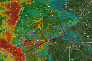
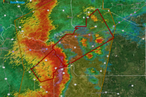
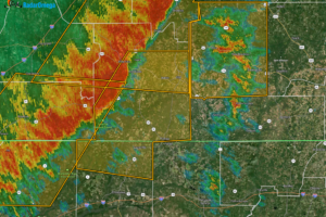
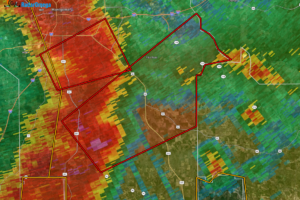
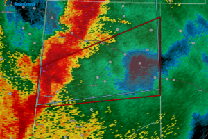
At 7:37 PM CDT, thunderstorms were producing heavy rain in the area, with 1 to 2 inches of rain already fallen. The rain is expected to continue at a rate of 1 to 2 inches per hour, with an additional 2 to 3 inches possible. Flash flooding is either happening now or expected to start soon.
The Wind Advisory for Central Alabama has been expanded to now cover Fayette, Lamar, Marion, Pickens, Tuscaloosa, Walker, and Winston counties, along with Fayette, Lamar, Marion, Pickens, Tuscaloosa, Walker, and Winston counties. The time of the advisory has also been extended until 10pm Friday night.
Location: 80 miles west-southwest of Cedar Key, Florida; 115 miles south of Tallahassee. Winds: 130 mph (Category 4 hurricane). Movement: North-northeast at 23 mph.
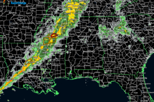
Current radar as of 6:20pm shows that any rainfall falling across Alabama is over on the eastern side of the state.
At 1100 PM AST (0300 UTC), the center of Tropical Storm Isaac was located near latitude 37.1 North, longitude 54.1 West. Isaac is moving toward the east near 12 mph (19 km/h), with a general eastward to east-northeastward motion expected to continue at a slightly faster speed over the next several days.
At 1000 PM CDT (0300 UTC), the center of Hurricane Helene was located near latitude 23.1 North, longitude 86.6 West. Helene is moving toward the north at 9 mph (15 km/h).
Hurricane Helene continues to churn her way over the Yucatán Channel and will soon be entering the southern Gulf of Mexico.
With the latest shift a little to the west in the projected path of Helene, the following watches, warnings, and advisories may be extended westward as well.
Helene is located near 19.9°N, 85.5°W, about 100 miles ESE of Cozumel, Mexico, and 145 miles SSW of the western tip of Cuba. The storm is moving WNW at 10 mph with sustained winds of 60 mph. Minimum central pressure is 991 mb.
As of 11 PM EDT, the system is located about 100 miles southwest of Grand Cayman and is moving north-northwest at 6 mph with maximum winds of 35 mph and a central pressure of 1002 MB.
The latest European ensemble members model run is out, and there is a 60% chance that a tropical storm will develop over the Gulf of Mexico.