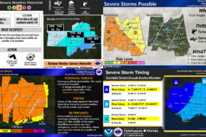
Severe Threat Timing Updates from All Four NWS Offices Serving Alabama
Here are the latest timing updates from each of the four NWS offices that serve the state of Alabama.
Scott Martin is an operational meteorologist, professional graphic artist, musician, husband, and father. Not only is Scott a member of the National Weather Association, but he is also the Central Alabama Chapter of the NWA president. Scott is also the co-founder of Racecast Weather, which provides forecasts for many racing series across the USA. He also supplies forecasts for the BassMaster Elite Series events including the BassMaster Classic.

Here are the latest timing updates from each of the four NWS offices that serve the state of Alabama.
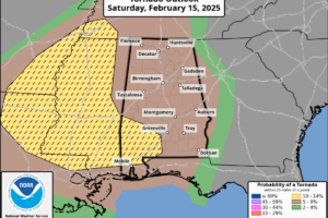
Severe storm timing looks to be between 9PM tonight and 4AM Sunday morning, so be sure to have a way to get weather alerts while you’re sleeping.
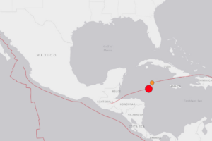
A very powerful earthquake has struck the Caribbean Sea nearly perfect in-between Belize (Central America) and Cuba and Jamaica.
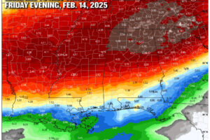
Enjoy the brief taste of spring while it lasts! A warm and mostly dry start to the weekend will give way to increasing rain chances, with multiple rounds of soaking storms expected next week. Flooding could become a concern before a drier stretch returns just in time for Valentine’s Day. But don’t put those heavy coats away yet! An Arctic blast may be knocking on our door by late February. Here’s what to expect in the days ahead!

Good morning, y’all! If you’ve been hoping for a stretch of warm and pleasant weather, you’re in luck! High pressure is keeping us nice and dry across Alabama, with plenty of sunshine and temperatures on the rise. While we’re starting off a bit chilly, the afternoon will bring mild and comfortable highs. And as we head into the week ahead, those temperatures will climb even higher. Let’s take a look at what’s in store!

We’ve got a little bit of everything on the weather menu this week—sunshine, clouds, and even some rain. Today will be a beauty with clear skies and highs in the 50s, but changes are on the way as a cold front brings rain to the state starting Sunday.
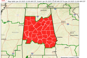
A Cold Weather Advisory has been issued for all of Central Alabama, taking effect from midnight Sunday night through 11 AM CST Monday. During this period, dangerously cold wind chills are expected to drop as low as around zero, posing significant risks to both health and property.
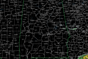
Radar check at 12:00PM shows that much of the state is dry with only a few scattered light showers or drizzle showing up over portions of Madison County in North Alabama, and for a few showers located along and in between the I-85 and US-280 corridors in southeast Alabama.
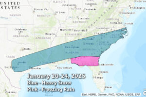
For today, we’ll have a warm font that will push northeastward through Alabama, bringing warm temperatures and a good bit of moisture for showers and maybe even a few rumbles of thunder.
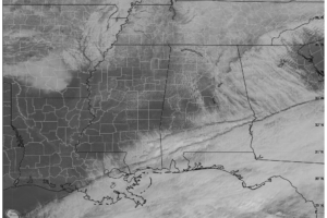
We have a mix of sun and clouds out there at this late morning hour as of 10:40AM, and ice should be melting away on the roadways at this point.
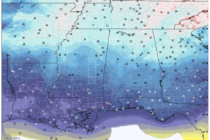
Alabama shifts to a dry pattern today after snow and icy conditions, with a Winter Weather Advisory in effect for North Alabama until 10 AM. Warmer afternoons and sunshine return gradually, but freezing nights persist through the week.
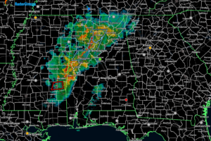
As of 9:50pm, we currently have no active warnings for Alabama, but the line of rain and storms continues to move eastward through the area, stretching from north of Scottsboro to Jasper to south of York.
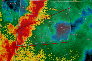
At 8:45 PM CST, a severe thunderstorm capable of producing a tornado was located near Pickensville, moving east at 40 mph. Radar has indicated rotation within the storm, which could lead to the development of a tornado.

We have some active storms out there over the western parts of the state, including a potential tornado touchdown near Vina in Franklin County, with power outages reported.
 Our long time friend, mentor, and charter Weather Factory member, J.B. Elliott, passed away on May 11, 2015. Click HERE to read James' tribute.
Notifications

