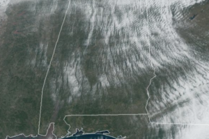
Midday Nowcast: Clearing Sky, Cold Temperatures, and Very Cold Wind Chills
This afternoon, despite sunshine in full supply, it remains very cold with highs only in the low to mid 30s, almost 30 degrees below average for this time of year.
Macon, Georgia Television Chief Meteorologist, Birmingham native, and long time Contributor on AlabamaWX. Stormchaser. I did not choose Weather, it chose Me. College Football Fanatic. @Ryan_Stinnet

This afternoon, despite sunshine in full supply, it remains very cold with highs only in the low to mid 30s, almost 30 degrees below average for this time of year.
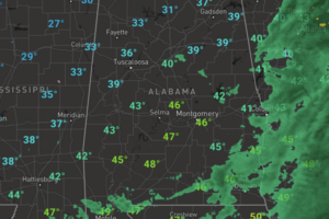
The rain and snow is coming to an end across Alabama, and much colder air is flowing into the state. Temperatures are falling due to an icy, north wind blowing into the state.
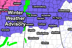
A low tracking through the northern Gulf of Mexico will bring a cold rain and some winter weather issues tonight and into tomorrow for Alabama and the Mid-South.
Blue sky and sunshine fill the Alabama sky on this President’s Day holiday. After the frosty start to the day, we are seeing temperatures this afternoon range from the upper 40s to lower 50s.
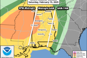
The SPC maintains an “enhanced risk” (level 3/5) for parts of West Alabama, with a “slight risk” (level 2/5) for the rest of the state. The greatest chance for severe storms will be to the west tomorrow, and that is where the tornado threat will be highest, especially across North Mississippi, but the storms to our west will congeal into a line of strong and severe storms.
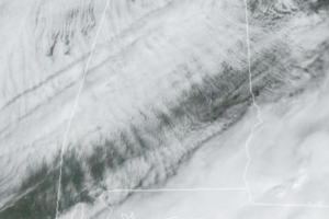
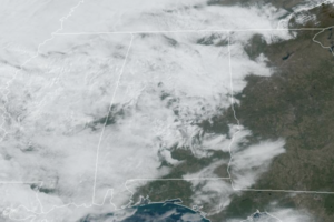
A gradually clearing sky today as drier air moves into the state. Temperatures this afternoon are in the low to mid 50s for much of North and Central Alabama; portions of the Tennessee Valley will remain in the 40s today.
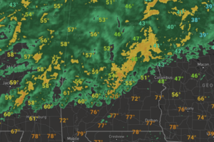
There remains the threat of strong and severe storms this afternoon and tonight. The SPC has defined an “enhanced risk” (level 3/5) over central, south, and southwest Alabama, along and south of a line from Moundville to Jemison to Alexander City, some cities included are Demopolis, Selma, Montgomery, Auburn, Troy, and Monroeville.
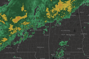
Rain has been ongoing through the morning hours and it will continue to expand in coverage and intensity as we head through the afternoon hours.
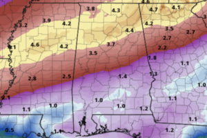
A front is bisecting the state today and is allowing a large temperature range across Alabama today with 50s over the Tennessee Valley, while 70s are common across South Alabama.
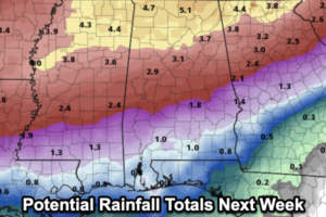
A front has drifted into North Alabama today and will be the near term player in our forecast through the weekend. The front is between Birmingham and Huntsville today, tomorrow the front will life back north into Tennessee as a warm front, and then on Sunday it will move back south into North/Central Alabama on Sunday as a cold front.
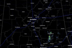
Today and tomorrow we are seeing more clouds than sun with some isolated showers possible at just about any time, especially over the northern half of the state.
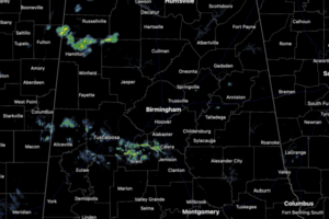
More sun than clouds in the Alabama sky today and it remains unseasonably warm with highs in the low to mid 70s. Some showers are ongoing across the northern and central portions of the state today, but rain amounts for the most part will be light.
Temperatures this week are running 15-25 degrees above average for the first week of February; highs are in the 70s with some 80s expected across central and southern sections of the state.
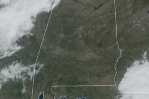
A very warm week of weather is ahead for Alabama as we are feeling a very early taste of spring as highs will be 15-25 degrees above average.
 Our long time friend, mentor, and charter Weather Factory member, J.B. Elliott, passed away on May 11, 2015. Click HERE to read James' tribute.
Notifications

