
Sunday Morning Snow Cover and Chilly Temps; Rain Tonight Mainly South
After a frosty morning under clear skies, visible satellite imagery has some beautiful looks at leftover snow cover over North and North Central Alabama.

After a frosty morning under clear skies, visible satellite imagery has some beautiful looks at leftover snow cover over North and North Central Alabama.
A quiet weather week is ahead for Central Alabama, starting with frigid conditions and patchy freezing fog this morning, followed by a brief rain event Sunday night into Monday mainly over South Alabama and a gradual midweek warm-up.

Black ice possible once again tonight, mainly on secondary/back roads and across northern AL
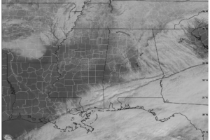
We have a mix of sun and clouds out there at this late morning hour as of 10:40AM, and ice should be melting away on the roadways at this point.

“This week’s frigid, winter weather initiated the pop-up drive,” said J. Patrick Reed, who coordinated the project. “Many in our communities are in need of warm clothing to help them in colder months. Magic City APSO can make a difference.”
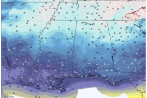
Alabama shifts to a dry pattern today after snow and icy conditions, with a Winter Weather Advisory in effect for North Alabama until 10 AM. Warmer afternoons and sunshine return gradually, but freezing nights persist through the week.

Black ice concerns continue early this morning. Special weather statement and winter weather advisory in effect.

Icy roads reported across parts of the area. Additional black ice expected as temperatues continue to drop.

Winter storm warning canceled for most, but not all central/northern AL counties; Black ice is a concern tonight, and a special weather statement has been issued to account for this.
A winter wonderland of accumulating snow greeted many locations in central and northern Alabama this morning. Here is a look at some various snowfall totals from across the region.
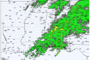
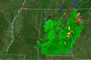
RADAR CHECK: Rain continues to fall over much of Alabama this afternoon… most widespread along and south of I-59. Temperatures are mostly in the mid 30s, with roads wet and slushy. We note gradient winds are fairly strong; southeast winds have gusted to 37 mph at the Birmingham Airport.
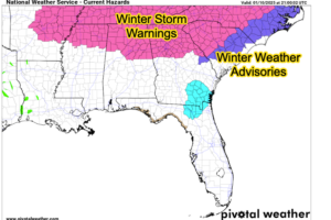
Black ice will be a problem overnight as temperatures fall below freezing across the area.
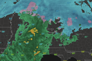
After the snowy start to the event, we are seeing the transition to wintry mix and then a cold rain event due to warm air advection from the south.
If weather forecasts hold true, mid-January could bring prolonged, sub-freezing temperatures to Alabama.
 Our long time friend, mentor, and charter Weather Factory member, J.B. Elliott, passed away on May 11, 2015. Click HERE to read James' tribute.


