

Beryl Strengthening Rapidly Again
The island of Carriacou was in the 18 mile wide eye for several minutes. It just went through the brunt of the eastern eyewall where winds were probably sustained at 130-135 mph with gusts to 160 mph.
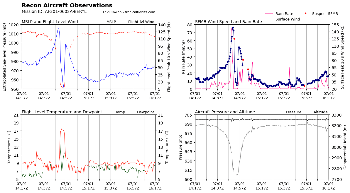
Concerning Vortex Data Message from the Air Force plane that flew through the NE and SW quadrants on their recent pass through the eye of Beryl.
The crew noted severe turbulence and frequent lightning in the northeast quadrant, which is a sign of a strengthening storm.
They also recorded a surface wind of 171.5 mph, which is averaged over 10 seconds, while the advisory wind criteria is averaged over one minute, but still…that is incredible.
Maximum flight level wind was 151.9 mph…adjusted for altitude would put it around 135 mph.
Product: Air Force Vortex Message (URNT12 KNHC)
Transmitted: 1st day of the month at 15:29Z
Agency: United States Air Force
Aircraft: Lockheed WC-130J Hercules with reg. number AF96-5301
Storm Name: Beryl
Storm Number & Year: 02 in 2024 (flight in the North Atlantic basin)
Mission Number: 6
Observation Number: 21
A. Time of Center Fix: 1st day of the month at 14:55:10Z
B. Center Fix Coordinates: 12.38N 61.40W
B. Center Fix Location: 33 statute miles (52 km) to the NE (46°) from Saint George, Grenada.
C. Minimum Height at Standard Level: 2,699m (8,855ft) at 700mb
D. Minimum Sea Level Pressure: 950mb (28.06 inHg)
E. Dropsonde Surface Wind at Center: From 290° at 6kts (From the WNW at 7mph)
F. Eye Character: Closed
G. Eye Shape & Diameter: Circular with a diameter of 18 nautical miles (21 statute miles)
H. Estimated (by SFMR or visually) Maximum Surface Wind Inbound: 149kts (171.5mph)
I. Location & Time of the Estimated Maximum Surface Wind Inbound: 11 nautical miles (13 statute miles) to the ENE (58°) of center fix at 14:51:30Z
J. Maximum Flight Level Wind Inbound: From 141° at 132kts (From the SE at 151.9mph)
K. Location & Time of the Maximum Flight Level Wind Inbound: 14 nautical miles (16 statute miles) to the NE (55°) of center fix at 14:50:30Z
L. Estimated (by SFMR or visually) Maximum Surface Wind Outbound: 107kts (123.1mph)
M. Location & Time of the Estimated Maximum Surface Wind Outbound: 6 nautical miles to the SW (219°) of center fix at 14:57:00Z
N. Maximum Flight Level Wind Outbound: From 299° at 98kts (From the WNW at 112.8mph)
O. Location & Time of the Maximum Flight Level Wind Outbound: 6 nautical miles to the SW (219°) of center fix at 14:57:00Z
P. Maximum Flight Level Temp & Pressure Altitude Outside Eye: 7°C (45°F) at a pressure alt. of 3,041m (9,977ft)
Q. Maximum Flight Level Temp & Pressure Altitude Inside Eye: 18°C (64°F) at a pressure alt. of 3,048m (10,000ft)
R. Dewpoint Temp (collected at same location as temp inside eye): 9°C (48°F)
R. Sea Surface Temp (collected at same location as temp inside eye): Not Available
S. Fix Determined By: Penetration, Radar, Wind, Pressure and Temperature
S. Fix Levels (surface & flight level centers within 5nm of each other): Surface and 700mb
T. Navigational Fix Accuracy: 0.02 nautical miles
T. Meteorological Accuracy: 0.5 nautical miles
Remarks Section – Remarks That Were Decoded…
Maximum Flight Level Wind: 132kts (~ 151.9mph) which was observed 14 nautical miles (16 statute miles) to the NE (55°) from the flight level center at 14:50:30Z
Remarks Section – Additional Remarks…
SEVERE TURB AND FREQ LTG IN NE QUAD
General Note About Vortex Messages:
– SFMR and flight level winds are usually averaged over a 10 second period. (The National Hurricane Center’s advisory wind speeds are the highest expected winds averaged over a 1 minute period.)
About the Author (Author Profile)
Bill Murray is the President of The Weather Factory. He is the site's official weather historian and a weekend forecaster. He also anchors the site's severe weather coverage. Bill Murray is the proud holder of National Weather Association Digital Seal #0001 @wxhistorianSubscribe
If you enjoyed this article, subscribe to receive more just like it.


