

Midday Nowcast: Sunny, Warm, Dry Start to May
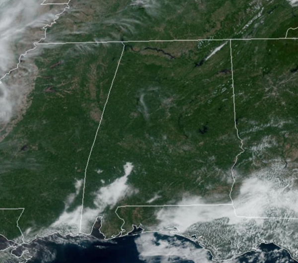
HELLO MAY: Plenty of sunshine and very warm temperatures across Alabama for this first day of May and this will continue into tomorrow. Highs are surging into the upper 80s and some spots will be flirting with 90° the next couple of days. No real threat of rain with rain chances less than 10% until we get to Friday.
AIR QUALITY: A “code orange” air quality alert has been issued for the Birmingham metro today (Jefferson and Shelby counties) for the potential for ground level ozone. This alert is fairly common on summer days here, and doesn’t impact the general public. The concern is for those with asthma or respiratory problems; the air quality is expected to be unhealthy for “sensitive groups”.
BIRMINGHAM ALMANAC: For May 1st, the average high for Birmingham is 79° and the average low is 57°. The record high is 92° set in 1901, while the record low is 33° set in 1909. We average 0.16” of precipitation on this date, and the record value is 1.59” set in 1985.
FRIDAY AND THE WEEKEND: A surface front will bring some showers Friday afternoon and Friday night into Alabama, but like the last front it will be decaying as it moves into the state. The remnants of the front will remain in place across the state through the weekend, and that means we will have to leave the chance for widely scattered showers and storms, mainly during the afternoon and evening hours both days this weekend. The greatest coverage will be over the northern half of the state, and the weekend certainly won’t be a wash-out, but expect some rain at times. Highs will be in the mid 80s and we will see sun at times.
NEXT WEEK: Warm weather continues with highs in the 80s and perhaps low 90s. A fairly moist airmass will be in place, meaning some risk of at least scattered showers on most days, but again nothing widespread. This is an early summer-preview for Alabama. With the main storm track well to the west and north of Alabama, we still see no sign of any high impact weather event for our state through the week (flooding, severe storms, etc).
BEACH FORECAST CENTER: Get the latest weather and rip current forecasts for the beaches from Fort Morgan to Panama City on our Beach Forecast Center page. There, you can select the forecast of the region that you are interested in visiting.
WORLD TEMPERATURE EXTREMES: Over the last 24 hours, the highest observation outside the U.S. was 123.3F at Joba, Oman. The lowest observation was -101.9F at Concordia, Antarctica.
CONTIGUOUS TEMPERATURE EXTREMES: Over the last 24 hours, the highest observation was 106F at Rio Grande Village, TX. The lowest observation was 11F at Stanley, ID.
Category: Alabama's Weather, ALL POSTS
About the Author (Author Profile)
Macon, Georgia Television Chief Meteorologist, Birmingham native, and long time Contributor on AlabamaWX. Stormchaser. I did not choose Weather, it chose Me. College Football Fanatic. @Ryan_StinnetSubscribe
If you enjoyed this article, subscribe to receive more just like it.


