

Noon Forecast Update: Clearing Underway, But a Few Patches of Light Rain Still
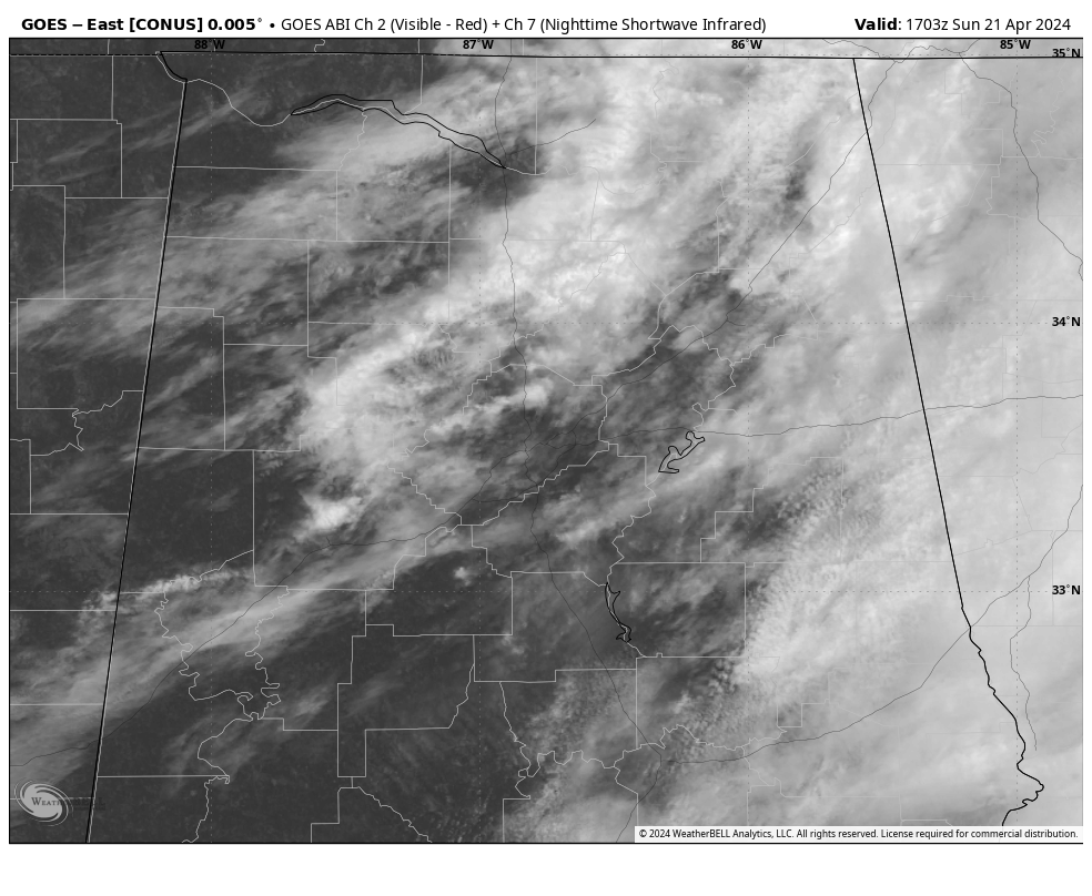
On schedule, the clearing has been progressing across western Alabama. There are a few patches of light rain over the northern third of the state, across Dekalb, Cherokee, and northeastern Etowah counties along I-59. Others extend from Morgan and Marshall counties in Jefferson County, north and west of Birmingham.
A little light rain is moving near Tuscaloosa. Other are from south of Cullman back into walker county near Jasper and into Fayette County southeast of Fayette.
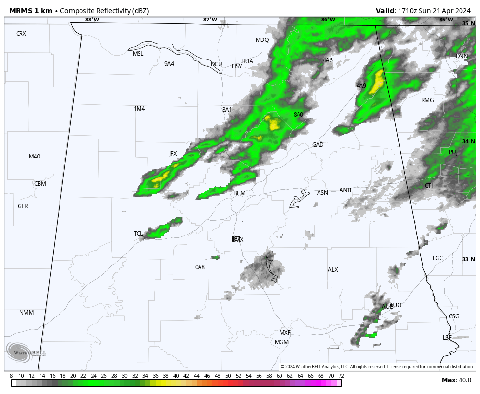
The rain will diminish through the afternoon and be gone by 2pm…
That’s good news for the Geico 500 at Talladega.
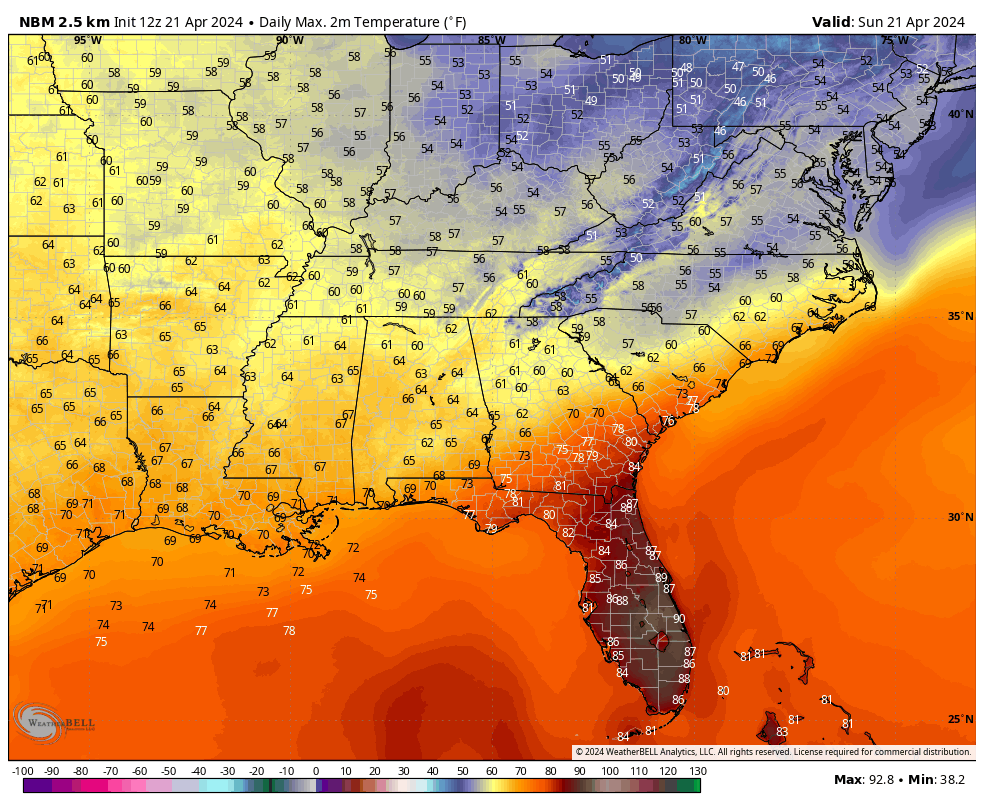
Temperatures over the entire state are in the 50s, except around Mobile, where the mercury has reached the 60s.
Highs are going to look like this during the afternoon:
Tonight will be chilly…lows will look like this by morning…
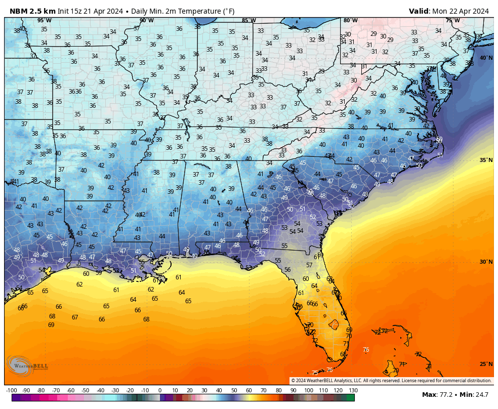
That’s a lot of 30s in North Alabama. The one saving grace against frost will be that the northerly winds will continue to average 8-10 mph through the coldest part of the night…
Monday will be sunny all day, and so will Tuesday. Highs tomorrow will be in the middle and upper 60s with a few readings near 70s near US-80. Tuesday will be 7-8 degrees warmer. Upper 70s will be common Wednesday and Thursday. 80s will return by Friday and Saturday.
I will reintroduce a few showers to the forecast for Wednesday night into Thursday across the northern third of the state ahead of a frontal system that will stall over Alabama. It will lift back north as a warm front late Thursday.
Category: Alabama's Weather, ALL POSTS
About the Author (Author Profile)
Bill Murray is the President of The Weather Factory. He is the site's official weather historian and a weekend forecaster. He also anchors the site's severe weather coverage. Bill Murray is the proud holder of National Weather Association Digital Seal #0001 @wxhistorianSubscribe
If you enjoyed this article, subscribe to receive more just like it.


