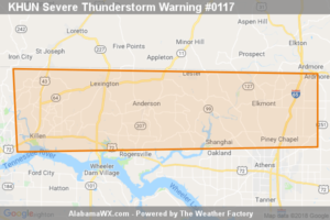
Severe Thunderstorm Warning Issued For Parts Of Lauderdale And Limestone Counties Until 12:15AM
At 11:45 PM CST, a severe thunderstorm was located near Lexington, or 17 miles northeast of Florence, moving east at 55 mph.

At 11:45 PM CST, a severe thunderstorm was located near Lexington, or 17 miles northeast of Florence, moving east at 55 mph.
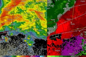
A storm with a history of producing tornadoes will move into Franklin County, Alabama before midnight. There is tornado damage in Tupelo.
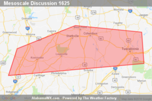
Some risk for a supercell tornado remains across north-central MS and this risk may eventually move into west-central AL later tonight.
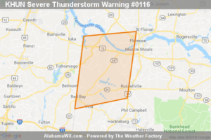
At 11:30 PM CST, severe thunderstorms were located along a line extending from near Midway to Sandy Springs, moving east at 60 mph.
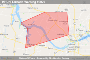
The storm which prompted the warning has moved out of the area.
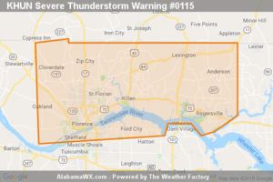
At 11:21 PM CST, a severe thunderstorm was located over Underwood-Petersville, or 7 miles north of Florence, moving east at 60 mph.
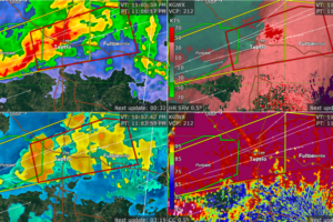
The dangerous storm will pass near Mantachie and north of Fulton.
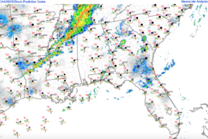
A strong low-level jet transported moist Gulf air northward rapidly this afternoon, providing the fuel for our severe weather event.
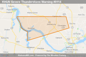
At 10:44 PM CST, a severe thunderstorm was located near Burnsville, or near J P Coleman State Park, moving east at 55 mph.
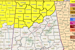
Isolated, sporadic circulations developing within a band of storms may pose a tornado/wind risk over the watch area through the next several hours.
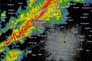
Intense storms capable of producing tornadoes and damaging winds will be approaching the northwestern corner of Alabama within the next 30 minutes, by 10:30 p.m.
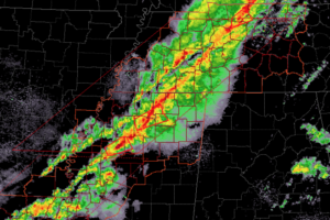
Although it is calm across Alabama for now, a line of intense storms will bring a threat of tornadoes and damaging winds to the state overnight. The greatest threat is over northwestern sections of the state.
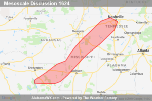
A threat for a few tornadoes will continue for the next few hours in WW 422 and WW 423. The greatest risk will exist in northern portions of Mississippi where the strongest forcing and most favorable low-level wind fields will overlap. Farther south, relative tornado risk will be lower. A new watch may be necessary across parts of Middle Tennessee, northern Alabama, and northeast Mississippi.
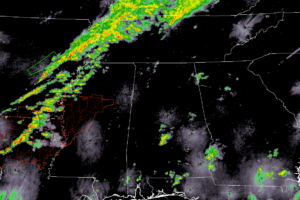
Much of North and Central Alabama is free from any rainfall as we make the approach to the 7:00 pm hour. We do have some shower activity in the south-central and the southeastern parts of the area, but none of these contain any lightning.
Notifications