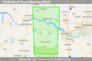
The Flood Warning Will Expire At 1130 PM CDT For Eastern Lauderdale, Northwestern Limestone, Southeastern Colbert And Lawrence Counties
The heavy rain is diminishing and widespread flooding is no longer expected to pose a threat.

The heavy rain is diminishing and widespread flooding is no longer expected to pose a threat.
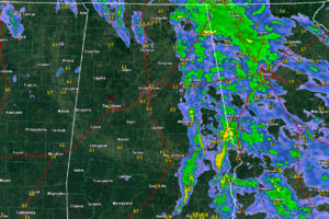
The rest of the night should be calm across Alabama as a weakening line of storms pushes into Georgia. Monday will be mostly cloudy, mild and will feature a little light rain or light showers.
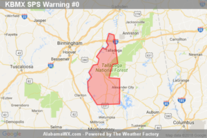
At 902 PM CDT, Doppler radar was tracking strong thunderstorms along a line extending from near Westover to near Verbena.
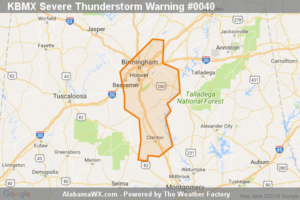
At 8:40 PM CDT, severe thunderstorms were located along a line extending from Patton Creek to 6 miles southeast of Calera to Plecher, moving east at 35 mph.
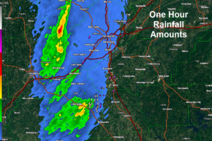
Heavy rains are accompanying our line of storms as it pushes across the I-65 Corridor. Some flooding may result.
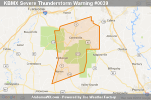
At 7:31 PM CDT, severe thunderstorms were located along a line extending from near Eoline to near Harrisburg to near Marion, moving northeast at 35 mph.
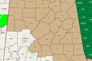
Winds will gust to over 35 mph tonight as a strengthening surface low moves along the Alabama/Mississippi border. Winds may gust to over 40 mph at higher elevations.
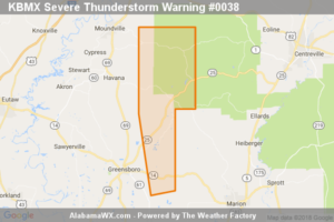
The storms which prompted the warning have moved out of the area.
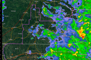
The Tornado Watch has been canceled for the South Central Alabama Counties. We continue to watch strong storms moving through West Alabama.
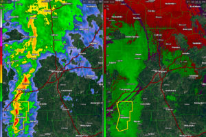
The line of strong storms is pushing across West Alabama at this time with strong winds, heavy rain, and lightning. A severe thunderstorm warning was just issued for Hale County, where trees have been reported down.
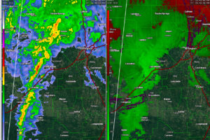
Strong storms are approaching Tuscaloosa. They are not severe but no have lightning, wind and rain.

Get your tickets for the 2018 Honda Indy Grand Prix of Alabama at the Barber Racing Events website. Kids 15 and under admitted FREE with a ticketed adult, courtesy of Alabama Power.
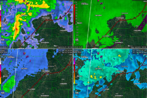
Strong storms are over parts of Lamar, Sumter, Pickens and Tuscaloosa Counties in West Alabama and will move into Greene County shortly.
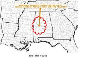
We continue to monitor an intensifying surface low over eastern Mississippi that is moving north-northeast toward western Alabama that could still trigger severe weather including the possibility of a few brief tornadoes.
Notifications