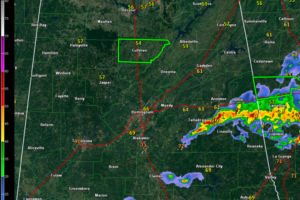
A Late Night Look at the Alabama Weather Situation
A tornado watch remains in effect until midnight for East Central Alabama. Storms continue to sag slowly south of I-20 late tonight.

A tornado watch remains in effect until midnight for East Central Alabama. Storms continue to sag slowly south of I-20 late tonight.
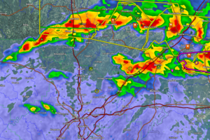
Storms in the Birmingham/Tuscaloosa areas are not severe at this time. They could intensify however.
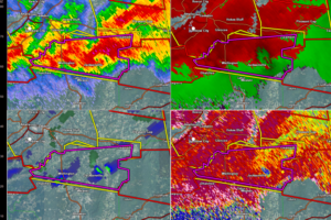
If you are in Jacksonville in Calhoun County, get to your safe place immediately. Gate to gate shear is reading close to 200 MPH, even though the radar is a few thousand feet off of the ground.
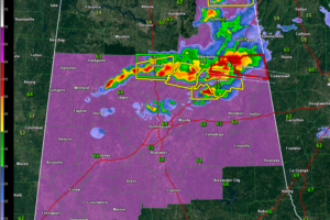
Dangerous storms over Northeast Alabama are producing tremendous amounts of very large hail. Possible tornadoes are affecting northern Etowah, DeKalb and Cherokee Counties.
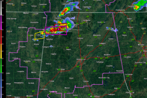
Severe and even tornadic storms are over Northwest Alabama at this hour. They are pushing east and will eventually turn more southeast. We are watching the southern extent of the line to see if it will impact areas south of I-22
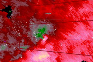
On this scan above, gate to gate shear values were approaching 110 MPH on radar. If this is a tornado and it is on the ground, considerable damage could be done.
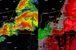
Other than a few thunderstorms up in the northeastern parts of North Alabama, a few exiting the state into Georgia, and a decent storm in Cullman, Blount, and Marshall counties, radar is pretty quiet at this point.
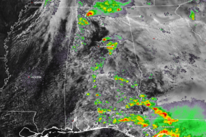
Latest from the SPC: Tornado watch will be issued by 4:00 PM across portions of the Mid-South. A few strong tornadoes are possible in addition to large hail.
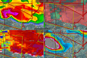
A powerful storm with a possible tornado is passing through Cullman. Folks east of Cullman over into northern Blount County must be in safe shelter now!
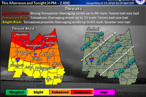
Confidence about the severe weather threat is increasing and the impacts are coming into closer focus. Here is the latest.
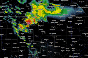
A large severe thunderstorm cluster is making its way through the northeastern parts of Mississippi and will soon enter the northwestern corner of Alabama.
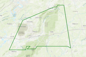
At 1101 PM CDT, Doppler radar indicated heavy rain due to thunderstorms. This will cause urban and small stream flooding in the advisory area. Up to two inches of rain have already fallen.
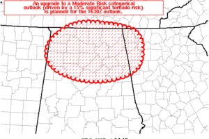
It appears increasingly probable the risk for several tornadic supercells will traverse across northern portions of AL late this afternoon and through the early evening.
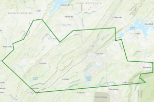
At 923 PM CDT, Doppler radar indicated heavy rain due to thunderstorms. This will cause urban and small stream flooding in the advisory area. Up to two inches of rain have already fallen.
Notifications