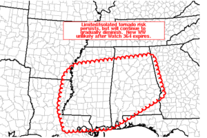
Good News! Tornado Watch Is Canceled for Tonight
While a brief tornado ot two can’t be ruled out, the tornado threat is lessening and the tornado watch is canceled.

While a brief tornado ot two can’t be ruled out, the tornado threat is lessening and the tornado watch is canceled.
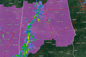
There is still a threat of tornadoes across much of the area tonight. Make sure you have a reliable way to receive warnings overnight, even when you are sleeping.
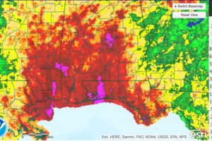
Here are some rainfall amounts from Tropical Storm Cindy through 1 p.m. CDT. Ocean Springs MS is the big winner so far with 12.30 inches.
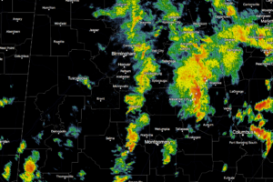
Most of the showers associated with the outer feeder bands have now progressed over into the eastern half of the state at this time. The strongest cells at the moment are located in Tallapoosa, Chambers, and Randolph counties, with another strong cell that is showing signs of a little rotation in Lowndes County in currently over the White Hall community.
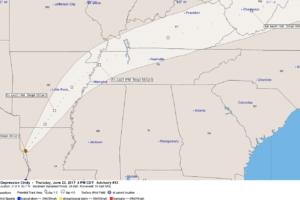
Cindy was weakened to tropical depression status this afternoon. The center is moving through northern Louisiana.
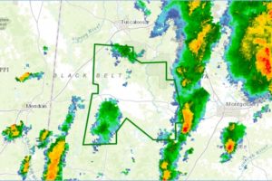
More counties in West Alabama are now under an areal flood warning. The rainfall is over, but flooding is occurring.
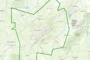
At 357 PM CDT, Doppler radar indicated rainfall of 2 to 4 inches the past 24 hours. Locally higher amounts have been reported. Any additional rain will cause ponding of water on roadways, small creek flooding and urban flooding. Runoff will last for several more hours.
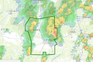
Very heavy tropical downpours will cause potential flooding in these counties.
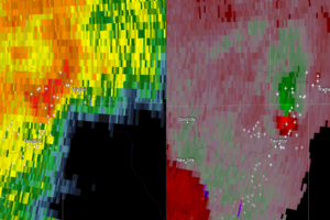
The storm which prompted the warning has weakened below severe limits, and no longer appears capable of producing a tornado. Therefore the warning has been cancelled.
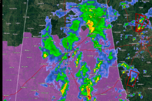
Dangerous storm passing just west of Dadeville. Be in safe shelter in Jackson’s Gap.
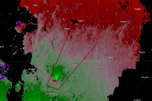
At 256 PM CDT, a severe thunderstorm capable of producing a tornado was located near Hillabee Creek, or near Alexander City, moving northeast at 35 mph.
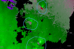
More rotations are starting to show up on radar over in the eastern parts of the area, especially near Alexander City, Eclectic. Peopple in and around these areas be ready if these are approaching your location.
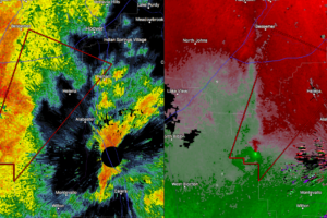
At 243 PM CDT, a tornado producing storm was located near Maylene, or 8 miles northwest of Montevallo, moving northeast at 30 mph.
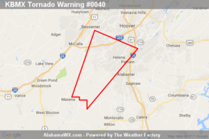
At 2:50 PM CDT, a severe thunderstorm capable of producing a tornado was located near Helena, moving northeast at 30 mph This storm produced a brief tornado earlier.
Notifications