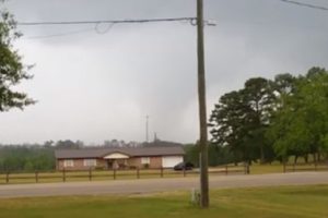
Strong/Severe Storms Return Late In The Weekend
SUNNY AFTERNOON: Storms have exited Alabama this afternoon; most communities are enjoying a sunny sky with temperatures in the upper 70s. Tonight will be mostly fair and calm.

SUNNY AFTERNOON: Storms have exited Alabama this afternoon; most communities are enjoying a sunny sky with temperatures in the upper 70s. Tonight will be mostly fair and calm.
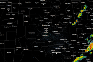
Other than a few showers pushing into Georgia in Cleburne County, all of the shower and thunderstorm activity is currently located in the extreme southeastern part of Central Alabama.
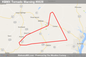
The storm which prompted the warning has weakened below severe limits, and has exited the warned area.
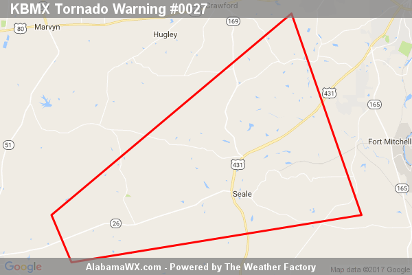
The storm which prompted the warning has weakened below severe limits, and no longer appears capable of producing a tornado.
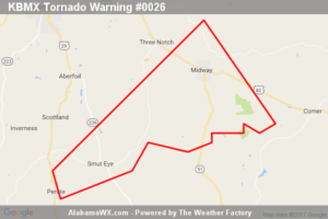
The storm which prompted this warning has weakened below severe limits, and no longer appears capable of producing a tornado.
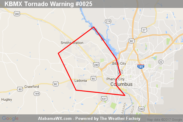
At 11:31 AM CDT, a severe thunderstorm capable of producing a tornado was located over Ladonia, or near Phenix City, moving east at 45 mph.
The storm which prompted the warning has moved out of the area.
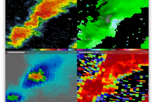
A strong thunderstorm affecting the central parts of Pike County is showing signs of rotation. It is currently located near Troy. Moving to the northeast. If you are in the path of this cell, be ready to take cover immediately if a warning is issued.
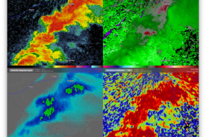
A strong thunderstorm located just south of Franklin and Tuskegee in Macon County is currently showing signs of rotation.
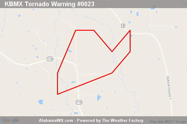
The storm which prompted the warning has weakened below severe limits, and no longer appears capable of producing a tornado.
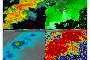
A strong thunderstorm located just south of Pike Road in Montgomery County is currently showing signs of rotation.
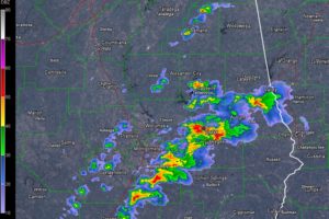
A few strong storms continue over South Central and East Central Alabama this morning. Rain had ended over North and West Central Alabama.
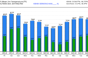
TOMORROW/SATURDAY: These two days will be warm and mostly dry with a partly sunny sky. We rise into the mid 80s tomorrow, followed by upper 80s Saturday. Some places could touch 90 degrees Saturday afternoon for a real summer preview.
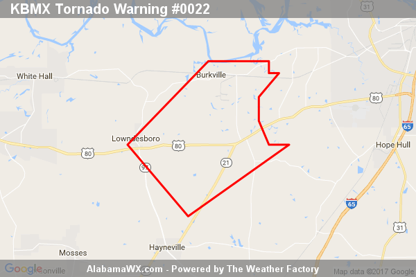
The storm which prompted the warning has weakened below severe limits, and no longer appears capable of producing a tornado.
Notifications